Survey Data
Reg No
15616020
Rating
Regional
Categories of Special Interest
Architectural, Technical
Original Use
Pier/jetty
In Use As
Pier/jetty
Date
1825 - 1830
Coordinates
271541, 110272
Date Recorded
09/03/2007
Date Updated
--/--/--
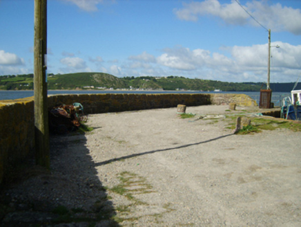
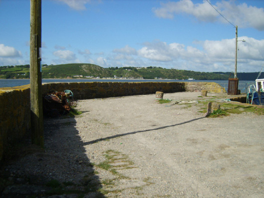
Description
Pier, designed 1829, on a cranked L-shaped plan with coursed rubble "Old Red Sandstone" battered walls having lichen-spotted coping supporting lichen-covered cut-"Old Red Sandstone" mooring posts. Set extending into King's Bay.
Appraisal
A pier erected 'at an expense granted by the late Fishery Board [fl. 1819-30] and the remainder defrayed by [Arthur Chichester (1797-1837), first Baron Templemore]' (Samuel Lewis 1837 I, 78-9) representing an important component of the early nineteenth-century built heritage of south County Wexford with the objective of the pier being to support 'trade [consisting] principally in the importation of coal and culm from South wales, and slates from Bangor, and the exportation to Waterford of corn, pigs, butter, eggs, honey, and poultry' (ibid., 78-9).