Survey Data
Reg No
15310231
Rating
Regional
Categories of Special Interest
Architectural, Historical, Social
Previous Name
Wellington Barracks
Original Use
Milestone/milepost
Date
1780 - 1820
Coordinates
243024, 253139
Date Recorded
17/10/2006
Date Updated
--/--/--
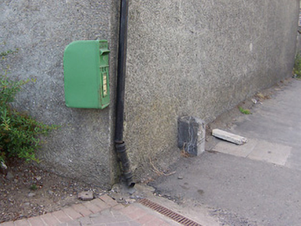
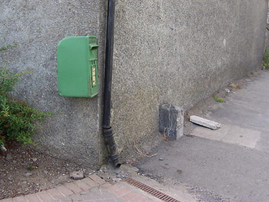
Description
Freestanding limestone milestone/boundary marker/ordnance stone on rectangular plan having pyramidal top, erected c.1800, with carved inscriptions to faces. Located adjacent to Columb Barracks on the main Mullingar to Ballynacarrigy Road and to the northwest of Mullingar Town centre.
Appraisal
A nicely carved limestone artefact, which is an interesting addition to the roadscape to the northwest of Mullingar. Its form suggests that it was probably originally a milestone, and, as such, it represents a subtle reminder of the great age of coaching in Ireland during the eighteenth and the first half of the nineteenth century. However, its location suggests that it may be some sort of town boundary marker or perhaps even an ordnance stone associated with the adjacent Columb Barracks complex. This modest piece of street furniture adds a subtle historic veneer to its location and is a worthy addition to the built heritage of the town.