


Survey Data
Reg No
13402601
Rating
Regional
Categories of Special Interest
Architectural, Social
Original Use
Store/warehouse
Date
1840 - 1860
Coordinates
213582, 257961
Date Recorded
11/08/2005
Date Updated
--/--/--
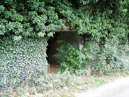
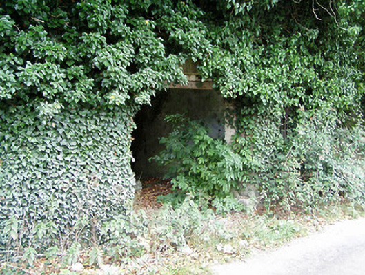
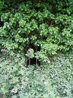
Description
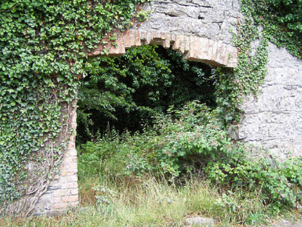
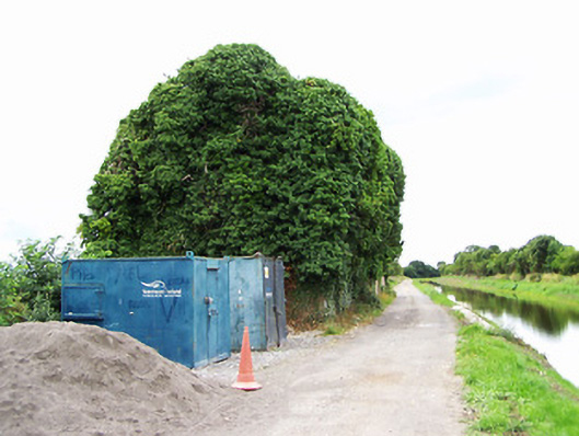
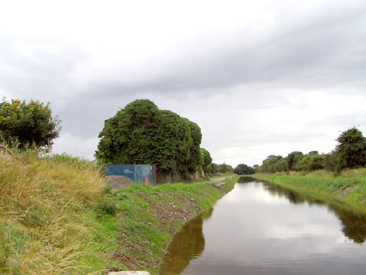
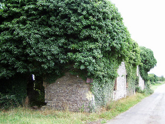
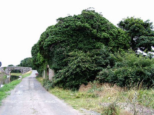
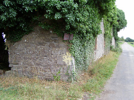
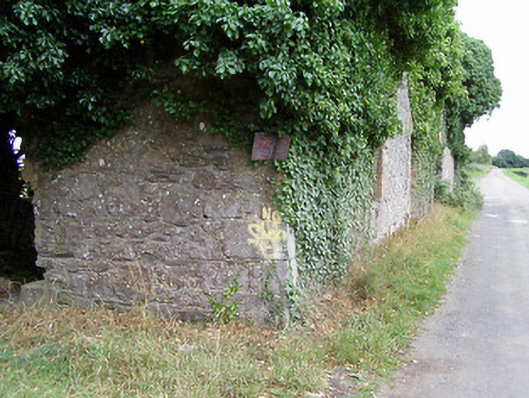
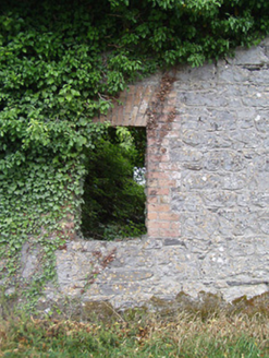
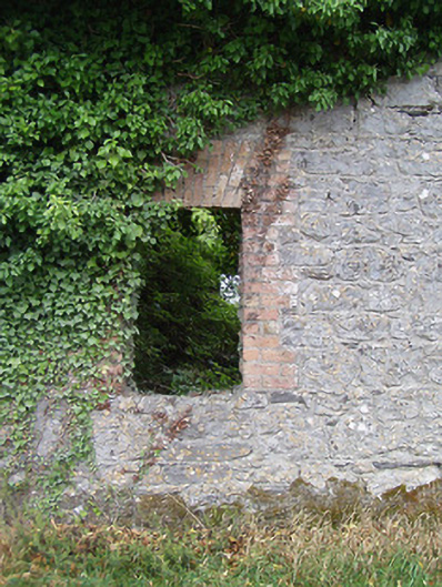
Complex of two former stores and warehouses associated with the Royal Canal, built c. 1850, comprising multiple-bay three-storey building to the east and a multiple-bay two-storey structure to west. Now derelict and out of use. Coursed rubble limestone masonry walls to east warehouse, having flush dressed limestone masonry quoins to corners. Roof now collapsed. Square-headed window openings some with remains of limestone sills with brick block-and-start surrounds. Wrought-iron security bars to a number of window openings. Square-headed doorway entrance to north having brick block-and-start surround. West warehouse having coursed rubble limestone masonry walls. Roof now collapsed. Square-headed window openings some with remains of limestone sills and having brick block-and-start surrounds. Segmental-headed carriage arch to front elevation (north) having brick voussoirs and brick block-and-start surround. Fronts onto canal to north. Located to the west of Ballymahon, and adjacent to the west of Archie’s bridge (13402602). Remains of cut stone quay adjacent to the north.
Appraisal
Although now derelict and out of use, the scale of these former warehouses and stores associated with the Royal Canal still impresses and provides an historical insight into the scale of trade along the canal at the time of construction. Although never a great financial success, the Royal Canal was carrying 40,000 passengers and 80,000 tonnes of freight annually c. 1830. This figure declined to c. 30,000 tonnes annually during the late-nineteenth century due to competition from the more efficient railway network. It is possible that one of these buildings was originally in use as a ticket office associated with passenger transport. These functional structures are well-built in local limestone and retain their early form despite their now derelict condition, and they form part of an extensive and important collection of structures associated with the Royal Canal in County Longford. These structures are located to the north of the impressive large-scale former corn mills at Shrule (13402612) to the south, and they may have been built to as stores associated with this large-scale industry. The Royal Canal was purchased by the Midland and Great Western Railway Company in 1845 (who may have built these stores as not depicted Ordnance Survey first edition six-inch map 1838) and the canal finally closed to commercial traffic in 1961. Sensitively restored, these buildings would add considerably to the built heritage of the local area.