


Survey Data
Reg No
13401604
Rating
Regional
Categories of Special Interest
Architectural, Artistic, Technical
Original Use
Bridge
In Use As
Bridge
Date
1840 - 1880
Coordinates
239194, 275604
Date Recorded
11/08/2005
Date Updated
--/--/--
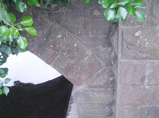
Description
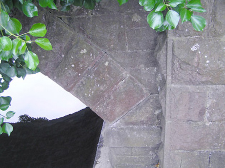
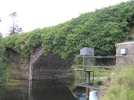
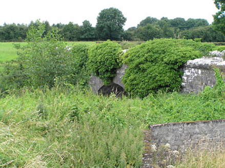
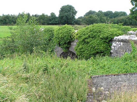
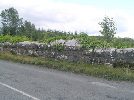
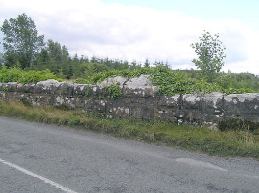
Single-arched road bridge over the River Inny, built c. 1860. Bridge now largely overgrown with ivy. Constructed of coursed rock-faced limestone with rock-faced limestone coping over parapet walls having dressed margins. Segmental-headed arch with rock-faced limestone voussoirs having dressed margins. Squared coursed dressed limestone construction to barrel. Rock-faced limestone piers to either side of arch having rock-faced coping over. Dressed limestone string course to base of arch, above abutments, terminated by piers. Rock-faced limestone wing walls to either side, curving along with road profile. Located on the border with County Westmeath, and to the southeast of Abbeylara.
Appraisal
A robustly-built medium-scale bridge, of mid nineteenth-century appearance, which is a pleasing feature in the rural landscape to the southeast of Abbeylara. This bridge displays highly skilled craftsmanship in its construction, particularly to the voussoirs and to the arch barrel. The architectural form of the bridge is further enhanced by the curving wing walls to either end, which give it a distinctive appearance. The wide arch helps to add additional technical and engineering merit. The good quality rock-faced masonry is a typical feature of the many bridges built throughout Ireland by the Board of Works/Office of Public Works during the mid-to-late nineteenth century, and particularly between c. 1847 - 60, suggesting that they may have been responsible for its construction. This bridge is quite similar in form to a number of other bridges over medium sized rivers in County Longford, and over the River Inny in County Westmeath, suggesting that it was built as part of a general drainage and/or bridge building programme. The present structure replaced an earlier multiple-arch bridge (six arches?) with cutwaters at this site (Ordnance Survey first edition six-inch map 1838), at a time when the River Inny was much wider than its present form.