
Survey Data
Reg No
13401201
Rating
Regional
Categories of Special Interest
Historical, Technical
Original Use
Beacon
Date
1750 - 1850
Coordinates
204580, 275954
Date Recorded
24/08/2005
Date Updated
--/--/--
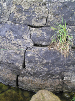
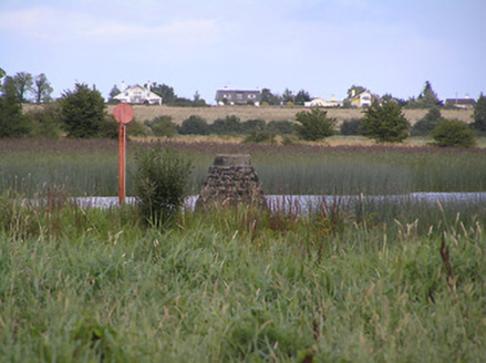
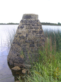
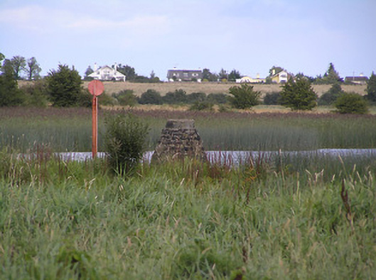
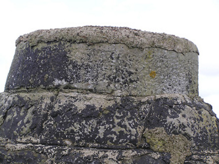
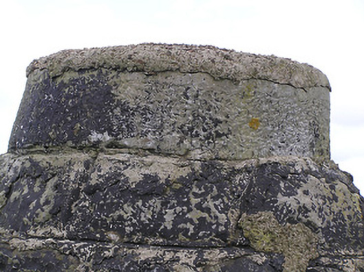
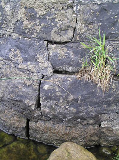
Description
Freestanding conical navigation marker/beacon of indeterminable date (c. 1760 or c. 1845). Constructed of roughly dressed coursed limestone masonry with dressed capstone on circular-plan to head. Modern cement repairs. Located towards the south bank of the River Shannon, and to the west of Cloondara. On border with Count Roscommon.
Appraisal
A simple rubble stone navigation marker/beacon associated with the Shannon Navigation, which forms part of an important and extensive collection of features/buildings associated with the history of inland waterways in County Longford. This feature is of indeterminable date but it is likely to have been erected as part of the works on the Shannon carried out by the noted canal engineer Thomas Omer, c. 1760, works that included the construction of a number of rubble stone navigation markers. However, it may have been originally erected as part of the extensive works carried out by the Shannon Commissioners between 1840 and 1849, under the direction of the engineer Thomas Rhodes (1789 – 1868), as part of a plan to improve trade and commerce along the Shannon. This is one of a number of navigation markers/beacons along the Shannon and are still in use.