


Survey Data
Reg No
13400912
Rating
Regional
Categories of Special Interest
Architectural, Technical
Original Use
Bridge
In Use As
Bridge
Date
1840 - 1880
Coordinates
216535, 277948
Date Recorded
09/08/2005
Date Updated
--/--/--
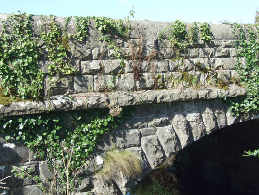
Description
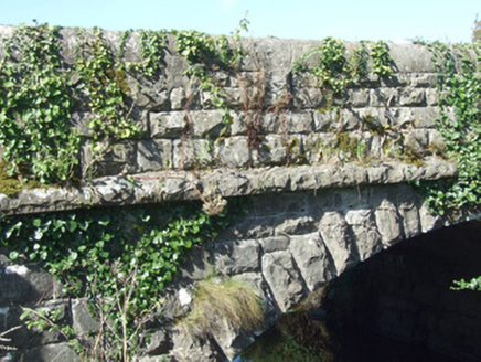
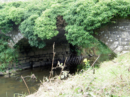
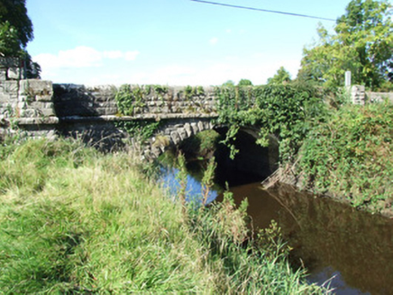
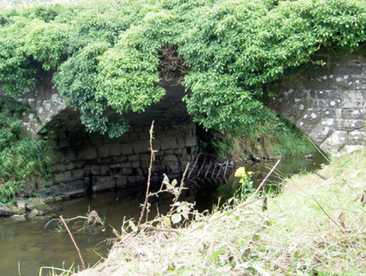
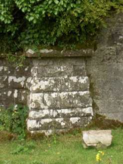
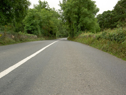
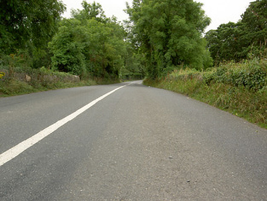
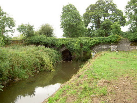
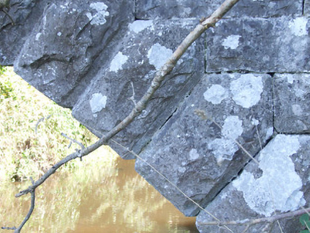
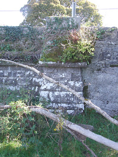
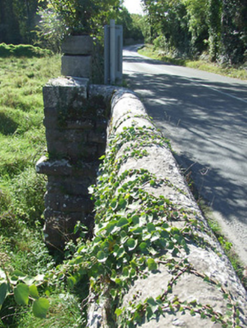
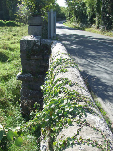
Single-arch road bridge over the Camlin River, built c. 1860. Constructed of coursed rock-faced limestone with rounded dressed limestone coping over parapet walls. Terminating piers to either side of arch having splayed bases and with dressed coping over. Rock-faced limestone string courses to base of piers and at base of parapets/road level. Segmental-headed arch with rock-faced limestone voussoirs having dressed V-jointed dressed margins. Squared coursed dressed limestone to barrel and abutments, possibly incorporating fabric of earlier bridge to site. Rubble stone wing walls to either end of bridge (north and south). Bridge largely overgrown with ivy. Located to the northeast of Longford Town, adjacent to Carriglass Demesne.
Appraisal
A robustly-built medium-scale bridge, of mid nineteenth-century appearance, which is a pleasing feature in the rural landscape to the northeast of Longford Town. This bridge shows evidence of highly skilled craftsmanship in its stonemasonry throughout. The architectural form of the bridge is further enhanced by the curving parapet walls forming terminating piers to either side of the arch and by the string course. The wide arch helps to add additional technical and engineering merit. The good quality rock-faced masonry is a typical feature of the many bridges built throughout Ireland by the Board of Works/Office of Public Works during the mid-to-late nineteenth century, and particularly between c. 1847 - 60, suggesting that they may have been responsible for its construction. This bridge is quite similar in form to a number of other bridges over the Camlin River, including Kilnacarrow Bridge (13400906) to the northeast and to Ballinkenny Bridge (13400816) to the west, suggesting that it was built as part of a general drainage and/or bridge building programme. The present structure replaced an earlier bridge to this site (Ordnance Survey first edition six-inch map 1838). The abutments and the random rubble wing walls to either side of this bridge probably retain fabric from this earlier bridge.