


Survey Data
Reg No
13400401
Rating
Regional
Categories of Special Interest
Architectural, Social, Technical
Previous Name
Johnstons Bridge
Original Use
Bridge
In Use As
Bridge
Date
1805 - 1860
Coordinates
209080, 286439
Date Recorded
26/07/2005
Date Updated
--/--/--
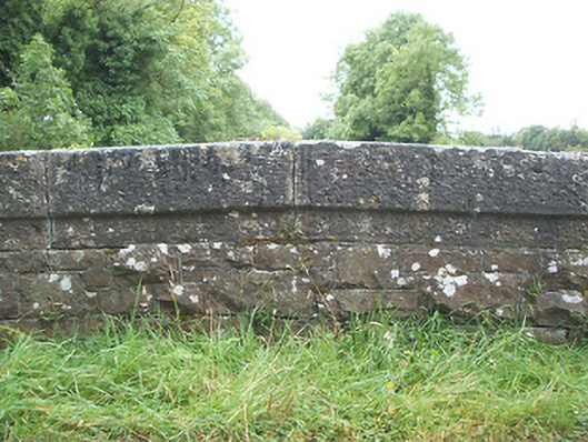
Description
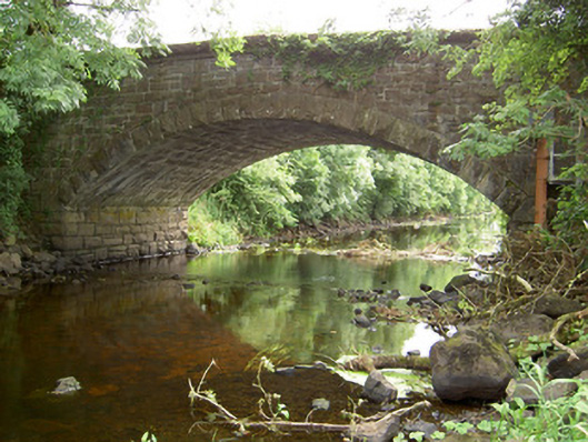
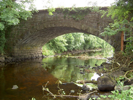
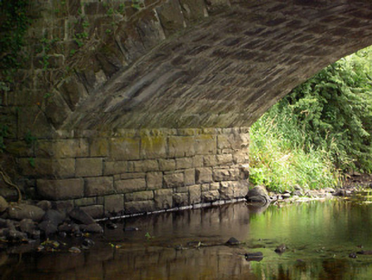
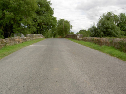
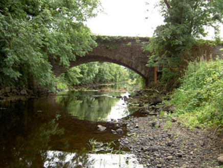
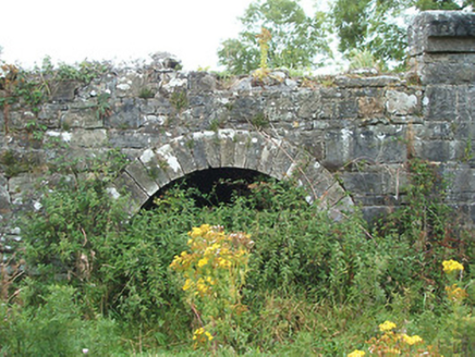
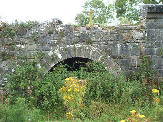
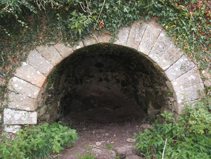
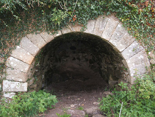
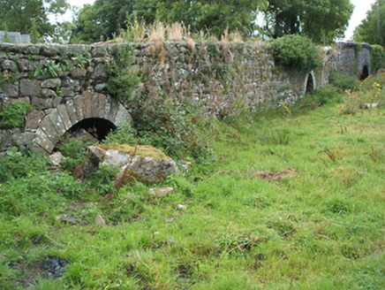
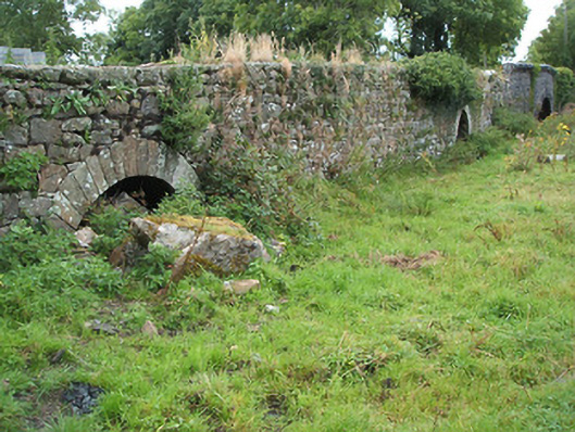
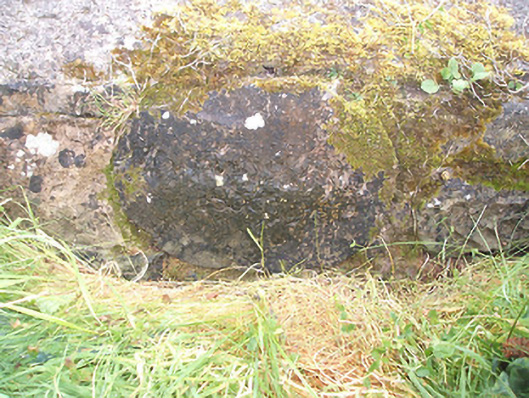
Single-arched humpback road bridge over Rinn River, built c. 1860, incorporating three arches of earlier bridge, dated 1809 (date plaque) to the west side (in County Leitrim). Possibly containing earlier fabric (to the west). Segmental-headed arch with rock-faced voussoirs and squared dressed limestone barrel. Round-headed arches to earlier bridge structure having dressed limestone voussoirs. Roughly dressed squared and snecked limestone spandrel walls, squared limestone abutments. Squared limestone rubble parapet walls having dressed limestone coping over (with bevelled edge to outer faces). Rubble stone wing walls to both ends (east and west). Three redundant arches of former bridge to the west with oval plaque dated ‘1809’. Name ‘Johnson‘s Bridge’ now erased. Located to the extreme north end of County Longford, on border with County Leitrim.
Appraisal
This interesting bridge contains fabric from two distinct phases of construction. A number of arches from an earlier bridge, dated 1809, survive to the west side of the bridge, while the wide segmental arch over the river dates to the mid-nineteenth century. The form of the wide arch (with the rock-faced voussoirs to the arch) suggests that this bridge was remodelled by the Board of Works c. 1860, possibly as part of a drainage programme as the river was dredged at this time (arches of earlier bridge to the west now dry). Although simple in design, this bridge is a good example of nineteenth century engineering with good-quality stonemasonry in evidence throughout. The combination of squared rubble, rock-faced and dressed limestone used in its construction adds textural variation to the bridge’s appearance. The bridge marks an important geographical boundary between counties Longford and Leitrim, and is an integral element of the architectural heritage of the area. This bridge is depicted as a multiple-arch bridge with cutwaters on the Ordnance Survey first edition six-inch map of the area (1838), suggesting that the present bridge may contain earlier fabric (pre-1750) and is a long-established crossing point of the Rinn River. This relatively small span of the arches to the earlier bridge (and the wide piers between the arches) would also suggest that this part of the bridge is of considerable antiquity.