

Survey Data
Reg No
13400307
Rating
Regional
Categories of Special Interest
Architectural, Artistic
Original Use
Bridge
In Use As
Bridge
Date
1840 - 1880
Coordinates
227323, 296367
Date Recorded
27/07/2005
Date Updated
--/--/--
Description
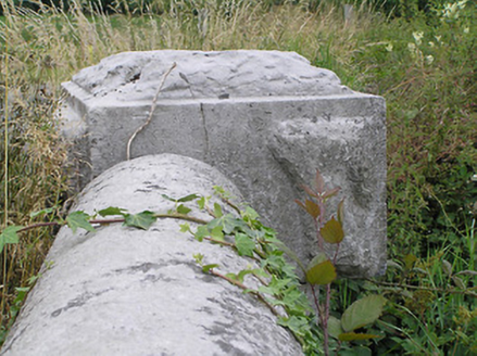
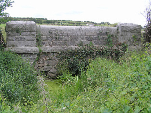
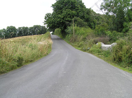
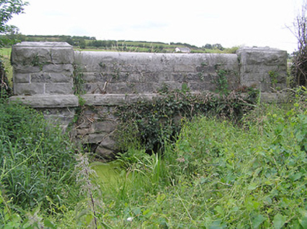
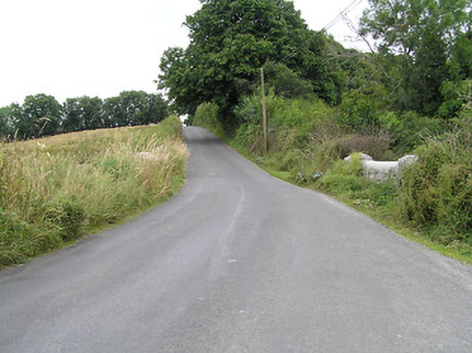
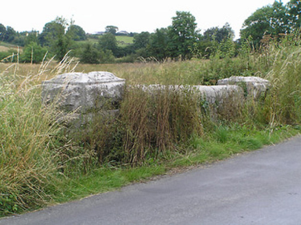
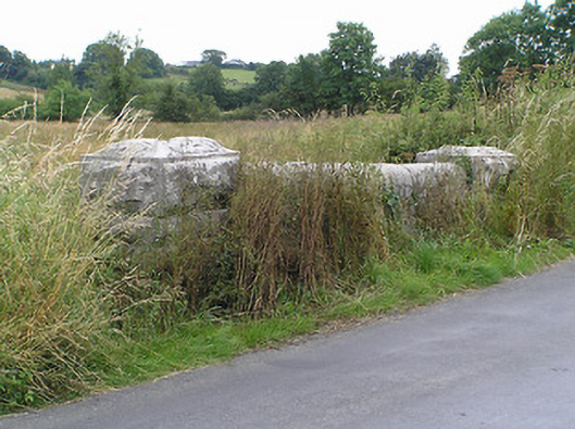
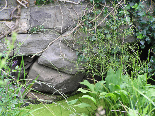
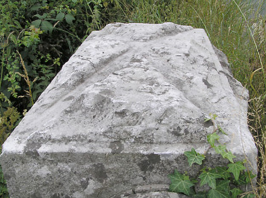
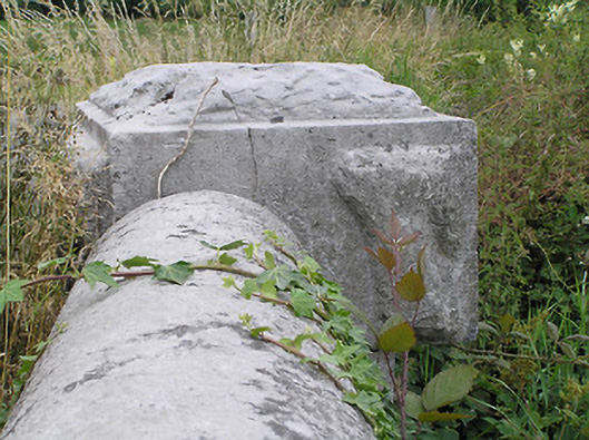
Single-arch road bridge, built c. 1860, over unnamed river/stream linking Enaghan Lough (south) and Guinikin Lough (northwest). Constructed of coursed rock-faced limestone with rounded dressed limestone coping over parapet walls. Segmental-headed arch with rock-faced limestone voussoirs. Rock-faced string course at road/deck level. Terminating piers (on square-plan) having rock-faced coping over. Located to the extreme north of County Longford, on border with County Cavan.
Appraisal
A robustly-built small-scale bridge, of mid nineteenth-century appearance, which is a pleasing feature in the rural landscape to the extreme north end of County Longford. This bridge shows evidence of highly skilled craftsmanship in its stonemasonry. The rustication to the piers and string course is finished with a straight edge to the corners, enhancing and emphasising the formal properties of the structure. The good quality heavily rock-faced masonry is a typical feature of the many bridges built throughout Ireland by the Board of Works during the mid-to-late nineteenth century, and particularly between c. 1847 - 60, suggesting that they may have been responsible for its construction. This bridge is similar in form to a number of other bridges in the area, including Drumury Bridge (13400101), which suggests that it was built as part of a general drainage and/or bridge building programme. The present structure replaced an earlier, narrower, bridge at this site (Ordnance Survey first edition six-inch map 1838).