


Survey Data
Reg No
13400210
Rating
Regional
Categories of Special Interest
Architectural, Technical
Original Use
Bridge
In Use As
Bridge
Date
1850 - 1870
Coordinates
222666, 294103
Date Recorded
09/08/2005
Date Updated
--/--/--
Description
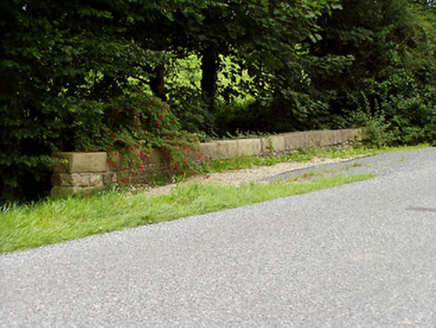
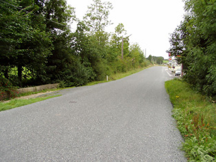
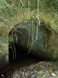
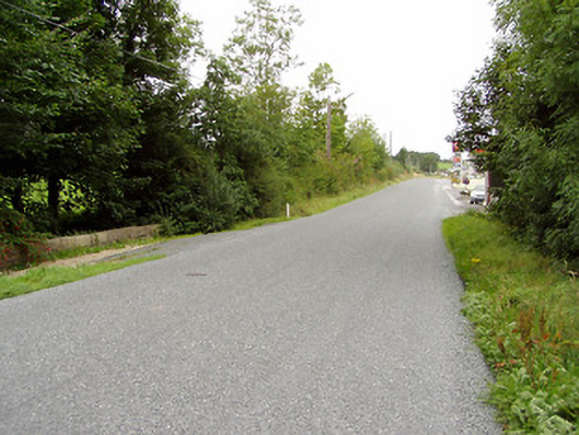
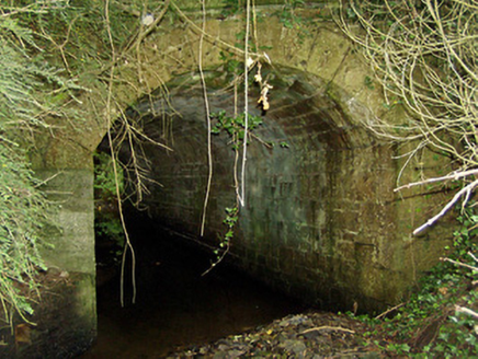
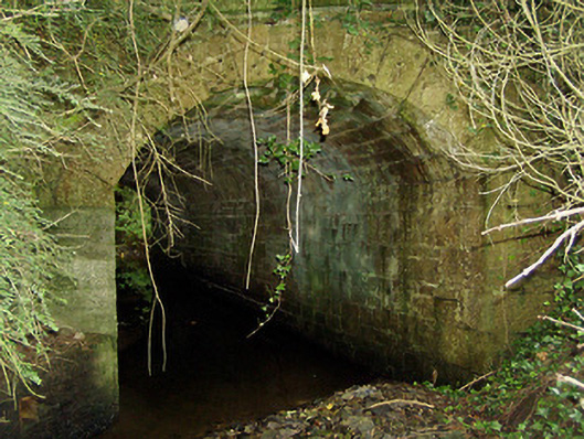
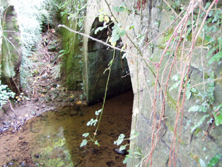
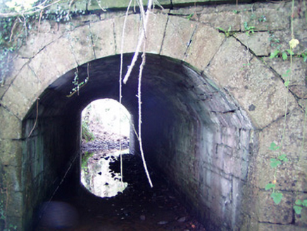
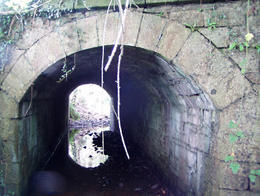
Single-arch road bridge over unnamed stream, built c. 1860. Segmental-headed arch with dressed sandstone voussoirs. Coursed sandstone abutments and arch barrel. Coursed squared sandstone rubble spandrel walls. Squared rubble sandstone parapets with ashlar sandstone block copings over. Cut sandstone string course at road/deck level. Located to the northeast of Ballinamuck and to the southwest of Moyne.
Appraisal
A robustly-built small-scale bridge, of mid nineteenth-century appearance, which is a pleasing feature in the rural landscape to the north of County Longford. This bridge shows evidence of highly skilled craftsmanship in its stonemasonry. The rustication to the piers and string course is finished with a straight edge to the corners, enhancing and emphasising the formal properties of the structure. The good quality heavily rock-faced masonry is a typical feature of the many bridges built throughout Ireland by the Board of Works during the mid-to-late nineteenth century, and particularly between c. 1847 - 60, suggesting that they may have been responsible for its construction. This bridge is similar in form to a number of other bridges in the area, including Drumury Bridge (13400101), which suggests that it was built as part of a general drainage and/or bridge building programme. The present structure replaced an earlier, narrower, bridge at this site (Ordnance Survey first edition six-inch map 1838).