

Survey Data
Reg No
13307006
Rating
Regional
Categories of Special Interest
Architectural, Technical
Original Use
Canal (section of)
In Use As
Canal (section of)
Date
1755 - 1765
Coordinates
205779, 276046
Date Recorded
16/08/2005
Date Updated
--/--/--
Description
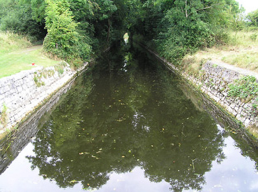
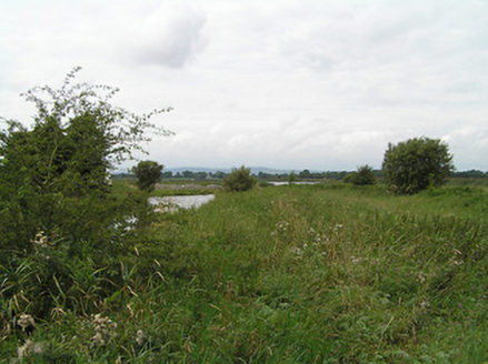
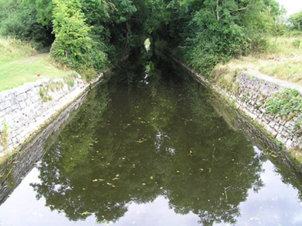
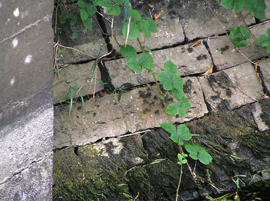
Section of canal, erected c. 1760, connecting River Shannon with the Camlin River. Canal is stone-lined with towpath to the north bank, now overgrown with vegetation in places. Associated canal lock (13307007) located the west end. Canal spanned by bridge (13307005) close to the centre of its c. 650 metre length. Runs west to east to the north of Cloondara.
Appraisal
This section of mid-eighteenth-century canal is a significant element of the industrial and transport heritage of County Longford. It was built/erected to designs by the canal engineer Thomas Omer for the Commissioners of Inland Navigation, c. 1760. It was constructed with the intention of linking the River Shannon with the Camlin River and to facilitate trade in the area. Although not commercially successful, it is nonetheless a testament to mid-eighteenth-century entrepreneurial endeavour and engineering skills. It later provided the final section of navigable waterway that leads into the River Shannon from the Royal Canal, via the Camlin River and Richmond Harbour (13307014). It provided a link between Dublin and the Shannon for the transport of goods, before being superseded by the railways in the mid-nineteenth century. It forms part of an extensive group of canal-related structures at Cloondara, which together represents one of the more significant collections of its type in the country.