
Survey Data
Reg No
12328013
Rating
Regional
Categories of Special Interest
Artistic, Historical, Social
Original Use
Graveyard/cemetery
In Use As
Graveyard/cemetery
Date
1825 - 2000
Coordinates
250641, 116292
Date Recorded
14/06/2004
Date Updated
--/--/--
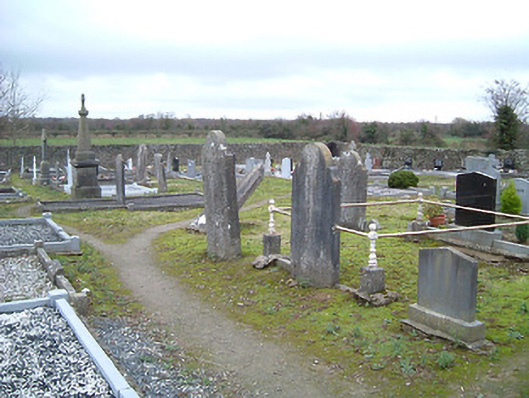
Description
Graveyard with various cut-stone markers, pre-1840-present. Road fronted with unpainted roughcast boundary wall to perimeter of site over random rubble stone construction having coping, and roughcast piers having capping.
Appraisal
Occupying the position of a late eighteenth- or early nineteenth-century Catholic chapel (c.1800; decommissioned, 1869; demolished, pre-1903) a picturesque graveyard represents an important element of the heritage of Mooncoin on account of the status as one of the earliest-surviving ecclesiastical settlements in the locality: although superseded following the construction of the later Saint Kieran's Catholic Church (12328004/KK-42-28-04) nearby the site remains in use as the burial ground for the area. A collection of markers displaying expert stone masonry identifies the artistic design importance of the site.