
Survey Data
Reg No
12318002
Rating
Regional
Categories of Special Interest
Architectural
Original Use
Quay/wharf
In Use As
Quay/wharf
Date
1890 - 1910
Coordinates
271053, 143682
Date Recorded
17/05/2004
Date Updated
--/--/--
Description
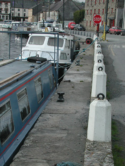
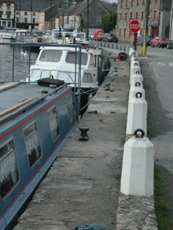
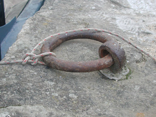
Section of random rubble stone retaining wall, c.1900, with flights of cut-stone steps to water level, squared rubble stone coping, and cast-concrete polygonal mooring bollards having cast-iron loops. Sited flanking River Barrow.
Appraisal
A landmark site in the centre of Graiguenamanagh the section of retaining wall forming the quay is also of importance for the associations with the industrial legacy of the town having been the point where raw and processed materials were shipped to and from warehouses (for example 12318006/KK-29-18-06) by boats navigating the River Barrow.