
Survey Data
Reg No
12312014
Rating
Regional
Categories of Special Interest
Architectural, Technical
Original Use
Bridge
In Use As
Bridge
Date
1740 - 1760
Coordinates
255210, 149258
Date Recorded
18/05/2004
Date Updated
--/--/--
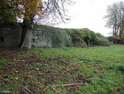
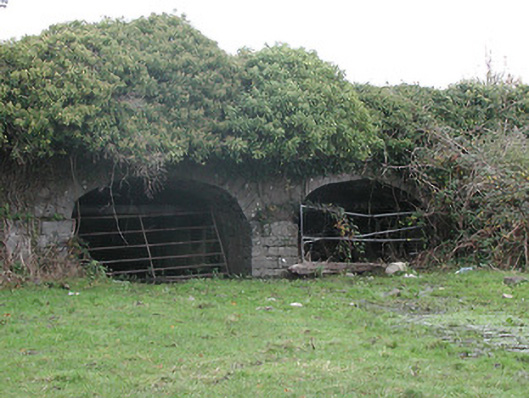
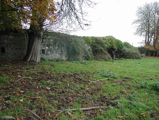
Description
Two-arch rubble stone road bridge over flood plain, c.1750. Ivy-clad random rubble limestone walls with squared rubble limestone coping to overgrown parapets. Pair of elliptical arches on dressed limestone pier with dressed limestone voussoirs, and rubble stone soffits having remains of render over. Sited spanning flood plain.
Appraisal
A pleasant bridge of civil engineering heritage significance forming a subtle feature in the landscape.