
Survey Data
Reg No
11817056
Rating
Regional
Categories of Special Interest
Architectural, Historical, Social
Previous Name
Beech Grove
Original Use
Unknown
In Use As
Gates/railings/walls
Date
1730 - 1770
Coordinates
273056, 212310
Date Recorded
12/02/2003
Date Updated
--/--/--
Description
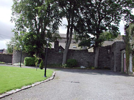
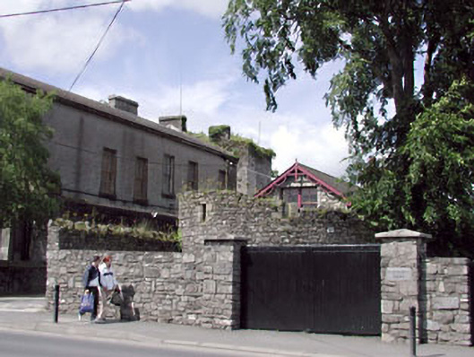
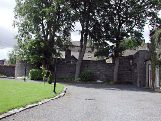
Remains of detached four-bay two-storey rubble stone building, c.1750, with bowed elevation to south. Now in ruins and in use as boundary wall. Roof now gone. Random rubble stone walls. Square-headed (slit-style) window openings to first floor. Cut-stone surrounds. Fittings now gone. Set back from road in grounds shared with Beech Grove (House).
Appraisal
These remains of a rubble stone building, the original purpose of which is uncertain, form an attractive feature on the grounds of Beech Grove (house) and on the streetscape of Dublin Street. Historical information suggests that a cockpit existed near the site of the courthouse and, having a curved plan, these ruined walls may the remains of the structure, therefore confirming its social and historical significance. The rubble stone construction is typical of the traditional economic method of building in the mid eighteenth century, while the cut-stone dressings to the slit-style openings is an example of more refined stone masonry.