


Survey Data
Reg No
15507022
Rating
Regional
Categories of Special Interest
Architectural
Original Use
Unknown
Date
1945 - 1950
Coordinates
304621, 120870
Date Recorded
05/07/2005
Date Updated
--/--/--
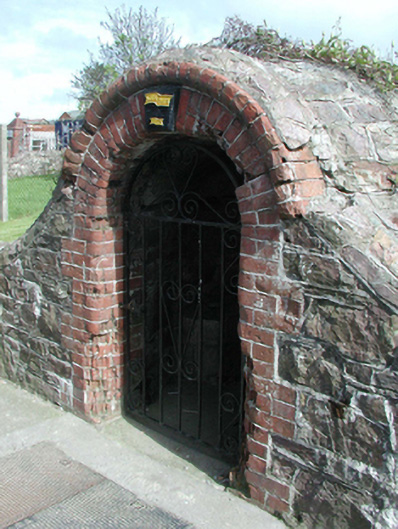
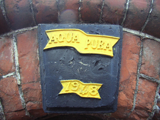
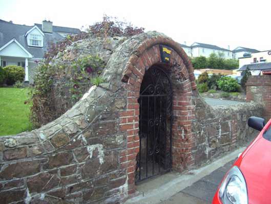
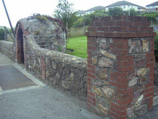
Description
Freestanding single-bay single-stage well house, dated 1948, on a semi-circular plan. Now disused. Part creeper- or ivy-covered rubble stone domed roof. Part creeper- or ivy-covered coursed or snecked rubble stone walls. Round-headed opening with concrete threshold, and red brick block-and-start surround centred on embossed plate ("1948") with red brick header bond beaded hood moulding framing wrought iron gate. Street fronted with concrete footpath to front.
Appraisal
A well house making a pleasing, if largely inconspicuous visual statement in Distillery Road.