

Survey Data
Reg No
15312031
Rating
Regional
Categories of Special Interest
Artistic, Social
Original Use
Graveyard/cemetery
In Use As
Graveyard/cemetery
Date
1860 - 1880
Coordinates
257433, 251106
Date Recorded
19/07/2004
Date Updated
--/--/--
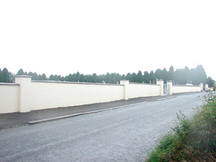
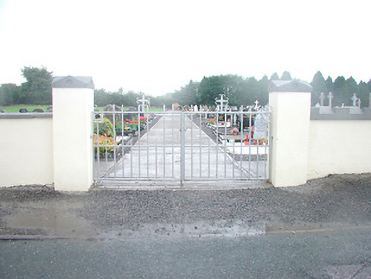
Description
Graveyard on rectilinear plan, originally laid out c.1870, having collection of gravestone markers from c.1870 to the present day. Still in use. Bounded by rendered boundary wall to the north and by mature trees/hedges to other sides. Main entrance to the north having a pair of rendered gate piers (on square-plan with decorative capstones over) supporting a pair wrought-iron gates with cross finials over. Located to the east end of Rathwire village.
Appraisal
St. Mary's cemetery is of high social significance to the local community. It contains a variety of gravestone, both upright and recumbent, dating from the late nineteenth-century to the present day, some of these of a very high standard, and provides an interesting insight into changing gravestone design trends over time. This graveyard represents a feature of some tranquility to the east end of Rathwire and is a local landmark.