Survey Data
Reg No
16318042
Rating
Regional
Categories of Special Interest
Architectural, Scientific, Technical
Original Use
Bridge
In Use As
Bridge
Date
1770 - 1790
Coordinates
319239, 188753
Date Recorded
05/08/2003
Date Updated
--/--/--
Description
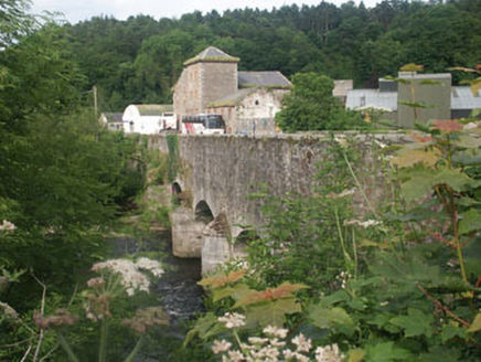
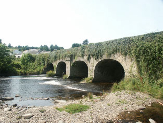
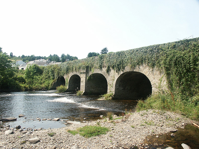
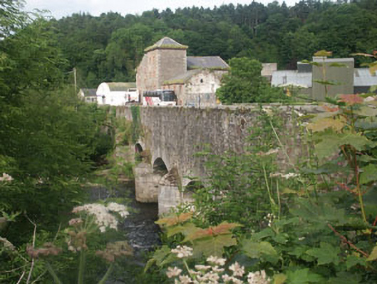
Five-arch road bridge over the Avonmore River, built c.1780, but probably widened in the mid 19th century. The bridge is constructed in rubble but largely covered in ivy growth to the south side. Four of the arches are evenly spaced with that to the east end, a ‘flood arch’ is set further apart. The south side is markedly different than the north, with the arches to the south elliptical with rough voussoirs and plain piers, whilst those to the north are segmental with dressed voussoirs and piers with rounded breakwater, all suggesting the bridge has been widened to the north side. The central pier to the south side has a corbelled projection above arch level.
Appraisal
This still impressive 18th to 19th-century road bridge, which, along with the large and equally impressive neighbouring former corn mill, forms a visually interesting rubble-built mass on the northern approach to Rathdrum.