


Survey Data
Reg No
22812023
Rating
Regional
Categories of Special Interest
Historical, Social, Technical
Original Use
Mine/pit
Date
1780 - 1820
Coordinates
243909, 99136
Date Recorded
01/08/2003
Date Updated
--/--/--
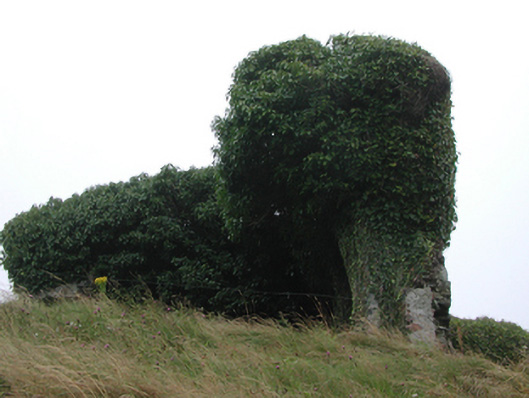
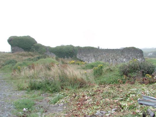
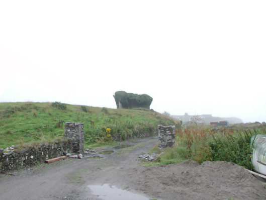
Description
Freestanding rubble stone mine head, c.1800, on a rectangular plan. Now in ruins. Random rubble stone walls partly collapsed with lime mortar (ivy-clad). Set back from road in own grounds on an elevated site with overgrown grounds to site.
Appraisal
This structure, the remains of a copper and lead mine, is of importance as evidence of a medium-scale industrial practise that historically supported the economy of Knockmahon and Bunmahon. The structure in its present state forms a picturesque feature in the landscape.