Survey Data
Reg No
22803086
Rating
Regional
Categories of Special Interest
Architectural, Historical, Social, Technical
Original Use
Gates/railings/walls
In Use As
Gates/railings/walls
Date
1820 - 1840
Coordinates
246338, 115336
Date Recorded
19/09/2003
Date Updated
--/--/--
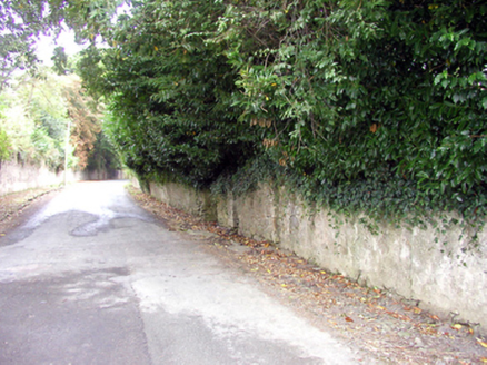
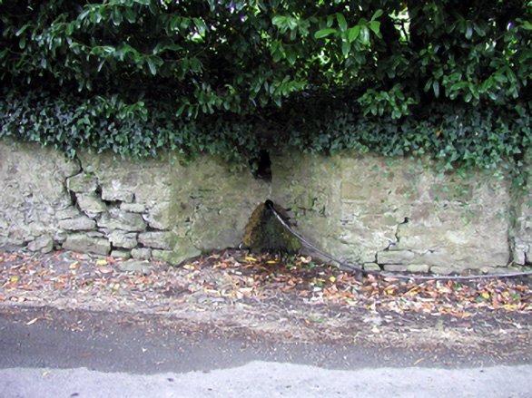
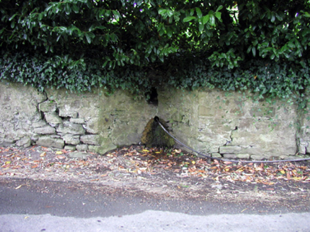
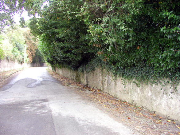
Description
Section of random rubble stone wall, c.1830, on a shallow concave plan incorporating circular opening with sections of random rubble stone flanking walls having pair of rubble stone piers to south-east possibly originally flanking gateway opening. Road fronted.
Appraisal
A subtle feature in the streetscape that is of significance for its original use as a communal source of clean drinking water in Portlaw. The traditional construction in unrefined rubble stone assimilates attractively into the surrounding landscape.