

Survey Data
Reg No
22121006
Rating
Regional
Categories of Special Interest
Archaeological, Architectural, Technical
Original Use
Bridge
In Use As
Bridge
Date
1630 - 1800
Coordinates
220215, 122133
Date Recorded
14/10/2006
Date Updated
--/--/--
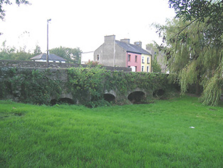
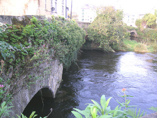
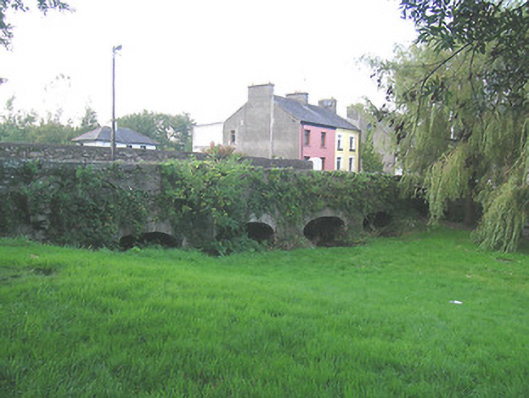
Description
Group of three limestone bridges, spanning two branches and one former branch of River Suir and connecting Suir Island, Stretches Island and Oldbridge area. Northernmost bridge is two-arch limestone, built c.1775, aligned east-west, and renovated c.1900, having segmental arches, rubble wallings, cut limestone voussoirs and with rendered V-cut-water to north elevation. Middle bridge is three-arch, built c.1700 and renovated c.1950, aligned north-east and south-west, having segmental arches, southern being depressed, with roughly dressed quoins. Southernmost bridge over dry former river channel, is five-arch, built c.1650 and widened and renovated c.1750, aligned north-south, having elliptical arches, rubble walling, narrow roughly dressed voussoirs.
Appraisal
This group of bridges, along with the medieval Old Bridge itself, is significant for linking the main part of Clonmel with the suburb of Oldbridge. The bridges have various arch types and widths and their meandering course is most attractive. They are also important for providing access to what was essentially the town's milling quarter. The antiquity of the bridges and their relationship with the River Suir are important features.