
Survey Data
Reg No
22111032
Rating
Regional
Categories of Special Interest
Archaeological, Architectural, Technical
Original Use
Bridge
In Use As
Bridge
Date
1730 - 1770
Coordinates
205020, 124778
Date Recorded
28/06/2005
Date Updated
--/--/--
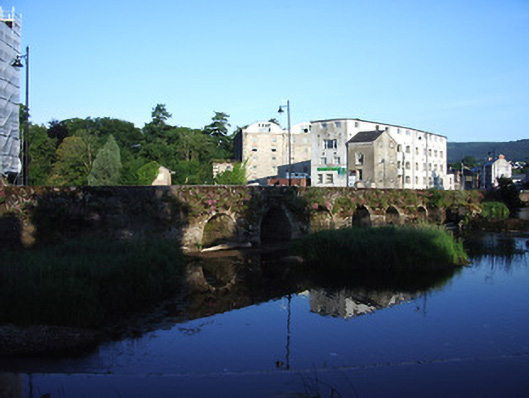
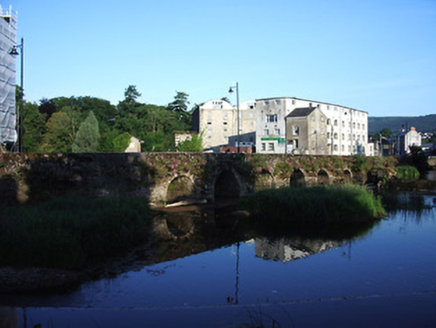
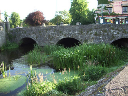
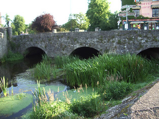
Description
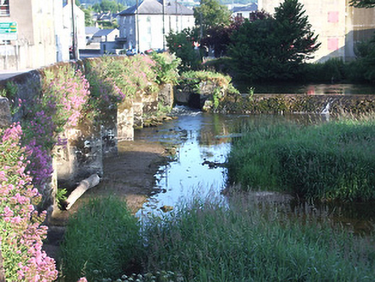
Road bridge spanning two branches of River Suir, built c.1750 on site of medieval bridge, consisting of two separate sections, six arches to north-west and three-arches to south-east, northern side of latter having one visible arch. Round arches to main bridge, with dressed stone voussoirs, random rubble stone walls and parapets with round-profile limestone copings, having V-cutwaters to north, upstream elevation. Segmental arches to south-eastern section, with dressed stone voussoirs and rubble walls with cut-limestone copings. Weir in branch of river to north of main bridge, having sluice between branches.
Appraisal
This long curving bridge is an excellent example of eighteenth-century construction, on the site of earlier bridges. The sluice and wer to the eastern side of the bridge link it with the large milling complex to the north-west of the bridge. The scenic qualities of the site are maximised by having a walkway, and a public green space along the eastern bank of the River Suir beside Cahir Castle.