


Survey Data
Reg No
13304002
Rating
Regional
Categories of Special Interest
Architectural, Technical
Original Use
Bridge
In Use As
Bridge
Date
1850 - 1880
Coordinates
222684, 280990
Date Recorded
26/07/2005
Date Updated
--/--/--
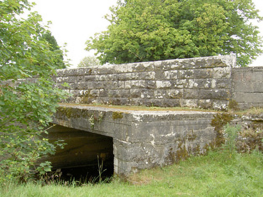
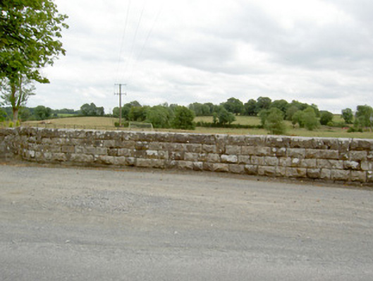
Description
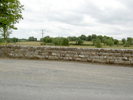
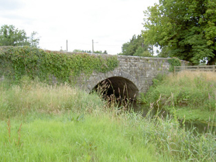
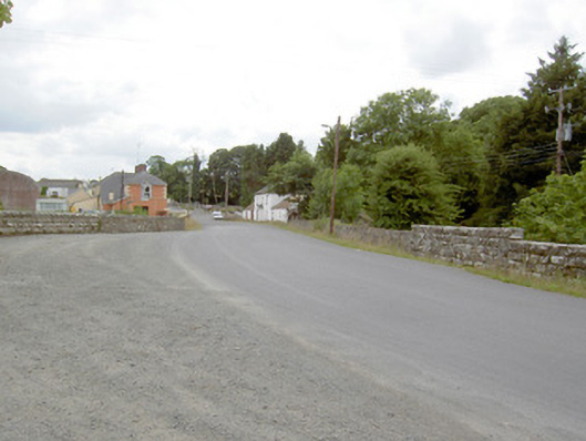
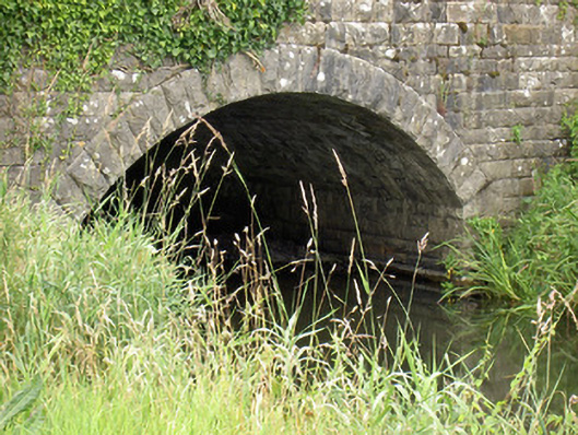
Single-arch road bridge over Camlin River, built c. 1865 and possibly incorporating the fabric of an earlier bridge to site c. 1780. Constructed of coursed rock-faced limestone with cut limestone voussoirs having rock-faced finish to segmental-headed arch and with rusticated limestone parapet walls having rock-faced limestone coping over. Extended to northwest with concrete span. Located to the north of Ballinalee.
Appraisal
A well-built small-scale mid-to-late nineteenth-century bridge, which is pleasing feature in the rural landscape to the north of Ballinalee. Its design is well-executed and high quality craftsmanship can be seen in the parapet walls and the voussoirs of the arch. The good quality rusticated masonry is a typical feature of the many bridges built by the Board of Works during the mid-to-late nineteenth century, particularly between c. 1850 - 70, suggesting that they were responsible for the construction of this bridge. The present structure replaced an earlier multiple-arch bridge with cutwaters at this location (Ordnance Survey first edition six-inch map 1838). The Camlin River was considerable wider at this point at this time. It is likely that the present bridge contains fabric from this earlier structure, particularly at the approaches to either end. It represents an integral element of the civil engineering heritage of County Longford.