


Survey Data
Reg No
30331054
Rating
Regional
Categories of Special Interest
Architectural, Historical
Original Use
Bridge
In Use As
Bridge
Date
1735 - 1820
Coordinates
143878, 252193
Date Recorded
25/06/2010
Date Updated
--/--/--
Description
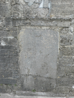
Single-arch limestone road bridge, dated 1738, over River Nanny, and widened c.1800 to east side. Segmental arch to weast having roughly dressed voussoirs with rubble walls above. Shallower segmental arch to east having cut-stone voussoirs with coursed rubble walls above. Base of soffit reinforced with concrete. Parapet to east has round-profile limestone coping. Large inscribed plaque to inside of west parapet dates bridge to 1738 and relates story of a wager involving the carting of the stone to the site. Label-moulding above stone. Further bridge to west served mill complex.
Appraisal
This modest bridge has carried traffic into Tuam from Dunmore for almost three centuries. Its two-period construction reflects the changing needs of the nineteenth century. The accompanying plaque is remarkable for its size and the story it tells of a wager involving the mayor of the town and Lord Athenry in 1738.