


Survey Data
Reg No
50910027
Rating
Regional
Categories of Special Interest
Architectural, Historical
Previous Name
Ordnance Office
Original Use
Office
In Use As
Office
Date
1805 - 1815
Coordinates
315472, 233719
Date Recorded
02/07/2015
Date Updated
--/--/--
Description
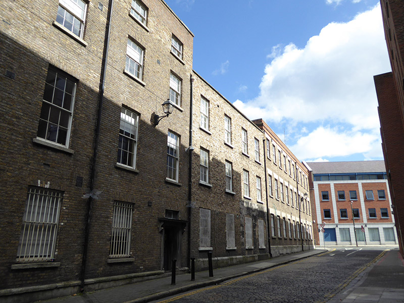
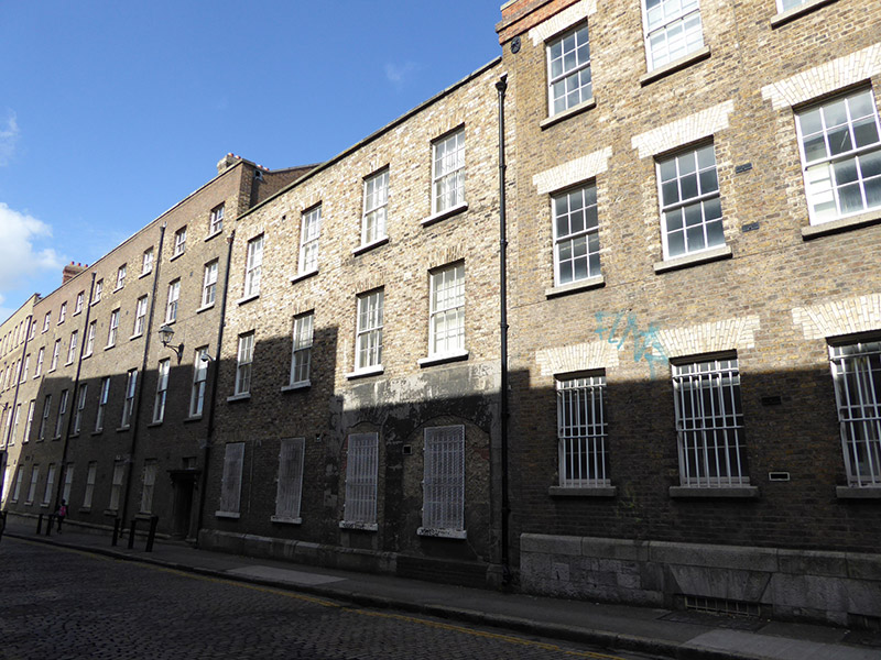
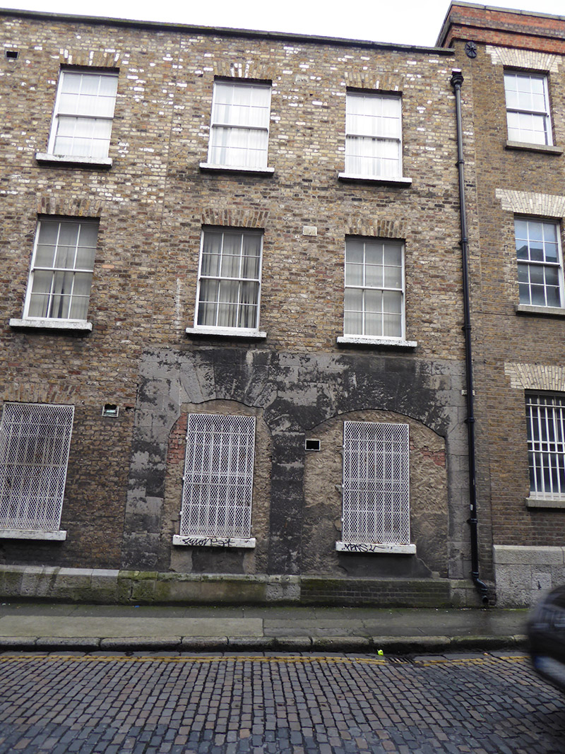
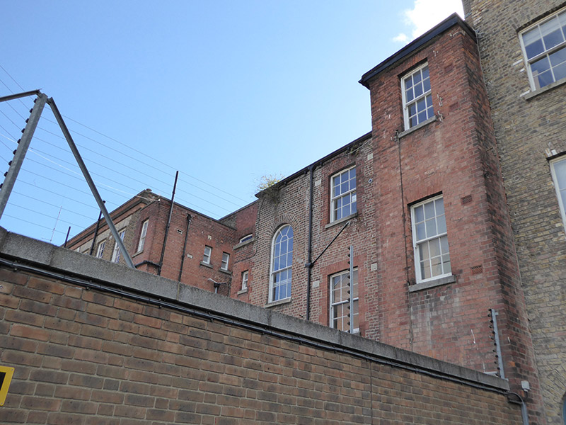
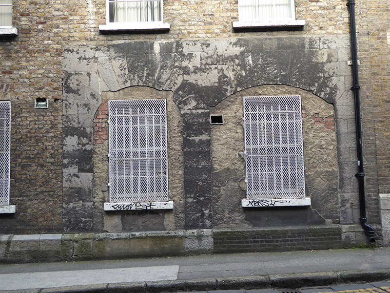
Attached four-bay three-storey office building over basement, built 1808-11, having single-bay return projecting from northeast corner. Building stands at western edge of Dublin Castle complex and originally fronted onto Ship Street Great, entrances in latter now blocked up. Hipped slate roofs concealed behind parapet to west, with blue/black clay angle ridge and hip tiles, and moulded cast-metal gutters on projecting timber brackets to west. Flemish bond yellow brick walling on chamfered tooled ashlar granite plinth to west elevation, with granite parapet coping, section of possibly earlier ashlar limestone walling at ground floor to south end, and various brick bonds and colours to east elevation. Generally square-headed window openings, with granite sills, rubbed brick voussoirs and mainly timber six-over-six pane sliding sash windows, having metal grilles to ground floor of west elevation, and with round-headed openings to staircase landings in east elevation. Blocked up carriage-arch, and second round-headed opening, to south end of west elevation. High brick boundary wall to north.
Appraisal
The Ship Street Ordnance Offices were erected in two stages, from 1808-11 and after 1845. This building has the appearance of a substantial townhouse standing within a row of similar large-scale buildings built for the British military. Retention of timber sash windows enhances the building, whose imposing facade forms an imposing boundary at the southwest side of the highly significant Dublin Castle complex. The west elevation of this building has a section of limestone walling that encompasses a segmental carriage-arch and associated round-headed opening.