

Survey Data
Reg No
50910025
Rating
Regional
Categories of Special Interest
Architectural, Historical
Previous Name
Ordnance Office
Original Use
Office
In Use As
Office
Date
1805 - 1815
Coordinates
315441, 233757
Date Recorded
02/07/2015
Date Updated
--/--/--
Description
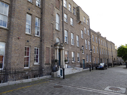
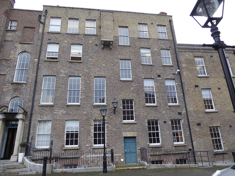
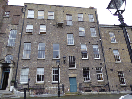
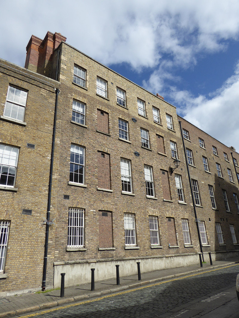
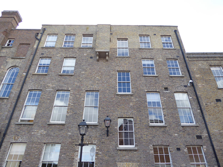
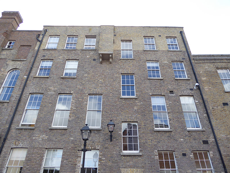
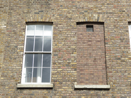
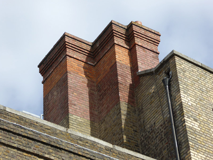
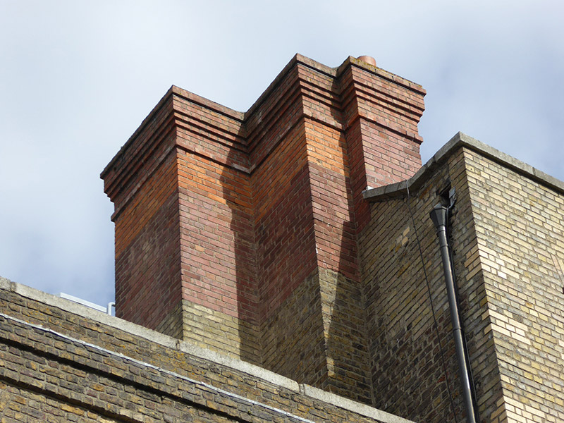
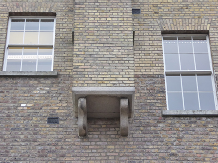
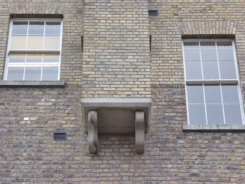
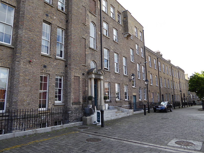
Attached six-bay four-storey office building over basement, built 1808-11. Roof concealed behind parapet walls with outer slopes rising to central flat, paired brick chimneystacks to north and south party walls, stone strings and caps and red clay pots. Brown brick Flemish bond walling to east and west elevations, upper section in lighter colour, with granite parapet coping, projecting machicolation at third floor on masonry corbels, and smooth-rendered plinth below granite string to west elevation. Square-headed window openings to front and rear elevations of ground, first and second floors, with blind openings to second and fifth bays of rear elevation, all with rubbed brick voussoirs, granite sills and six-over-six pane timber sliding sash windows, with iron grilles to ground floor windows at rear. Square-headed door opening to front elevation approached by paved platform, and having rubbed brick voussoirs and timber panelled door. Basement area to east bounded by wrought-iron railings on plinth wall.
Appraisal
The Ship Street Ordnance Offices were erected in two stages from 1808-11 and after 1845, to house the British military based at Dublin Castle. They form an imposing boundary to the southwest side of the castle complex. This substantial brick structure is relieved by the irregular fenestration and by the unusual machicolation to the upper part of the facade, a feature more unusual in medieval castles and normally sited directly above a doorway. The plain doorway is reached by a platform over the basement area, a feature more common in domestic buildings.