

Survey Data
Reg No
50130049
Rating
Regional
Categories of Special Interest
Architectural, Historical
Original Use
House
In Use As
Apartment/flat (converted)
Date
1700 - 1720
Coordinates
315264, 237494
Date Recorded
29/05/2018
Date Updated
--/--/--
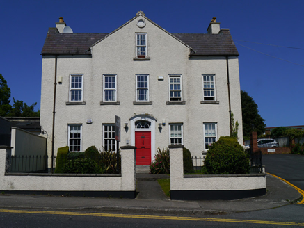
Description
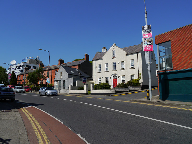
Detached five-bay two-storey L-plan house with attic over semi-basement, built c. 1720, having floating pediment over central three bays, and cat-slide return to rear. Pitched natural slate roof, with flat roof inserted over valley, rendered chimneystacks to gable ends having terracotta pots; aluminium rainwater goods; and painted stone coping to pediment. Painted roughcast rendered walling, having blind oculus to pediment apex. Square-headed window openings having plain reveals and concrete sills, generally replacement uPVC six-over-six pane sliding sash windows, and small number of double-glazed timber sliding sash replacements. Segmental-headed door opening with painted stucco architrave with scrolled key block, six-panel timber door and replacement timber fanlight, accessed by two granite steps. Replacement uPVC door to exposed basement at rear. Set back from road with small garden to front bounded by replacement roughcast rendered boundary wall and railings. Located on north side of Glasnevin Hill.
Appraisal
No. 49 Glasnevin Hill is a handsomely-proportioned early eighteenth-century house and is representative of the early development of the area around the Tolka River, as shown on John Rocque's 1756 map of Dublin. It is reputed to contain original interior fabric, including wall panelling and an early staircase, adding considerably to its architectural and historic interest. The house is relatively well preserved, despite the replacement of historic windows, and represents a rare and important survival of the eighteenth-century village setting in an area generally characterized by late nineteenth and early twentieth-century development.