

Survey Data
Reg No
50120212
Rating
Regional
Categories of Special Interest
Architectural, Artistic, Historical, Social
Previous Name
Widows Houses
Original Use
Almshouse
In Use As
Apartment/flat (converted)
Date
1810 - 1820
Coordinates
316000, 236095
Date Recorded
17/11/2017
Date Updated
--/--/--
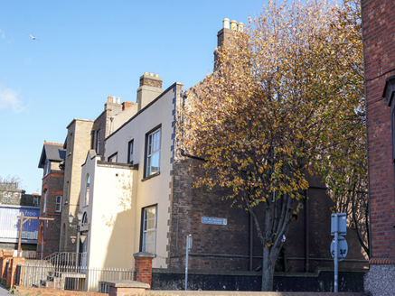
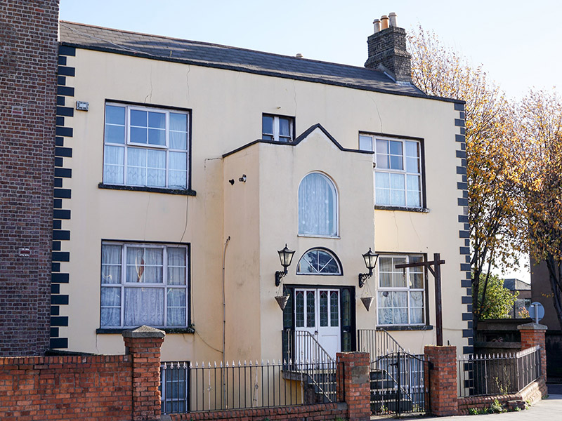
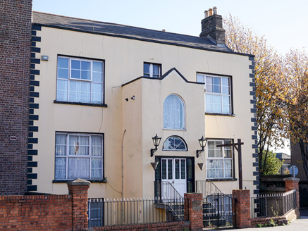
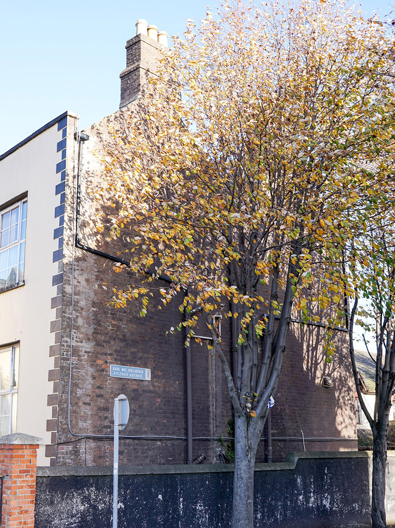
Description
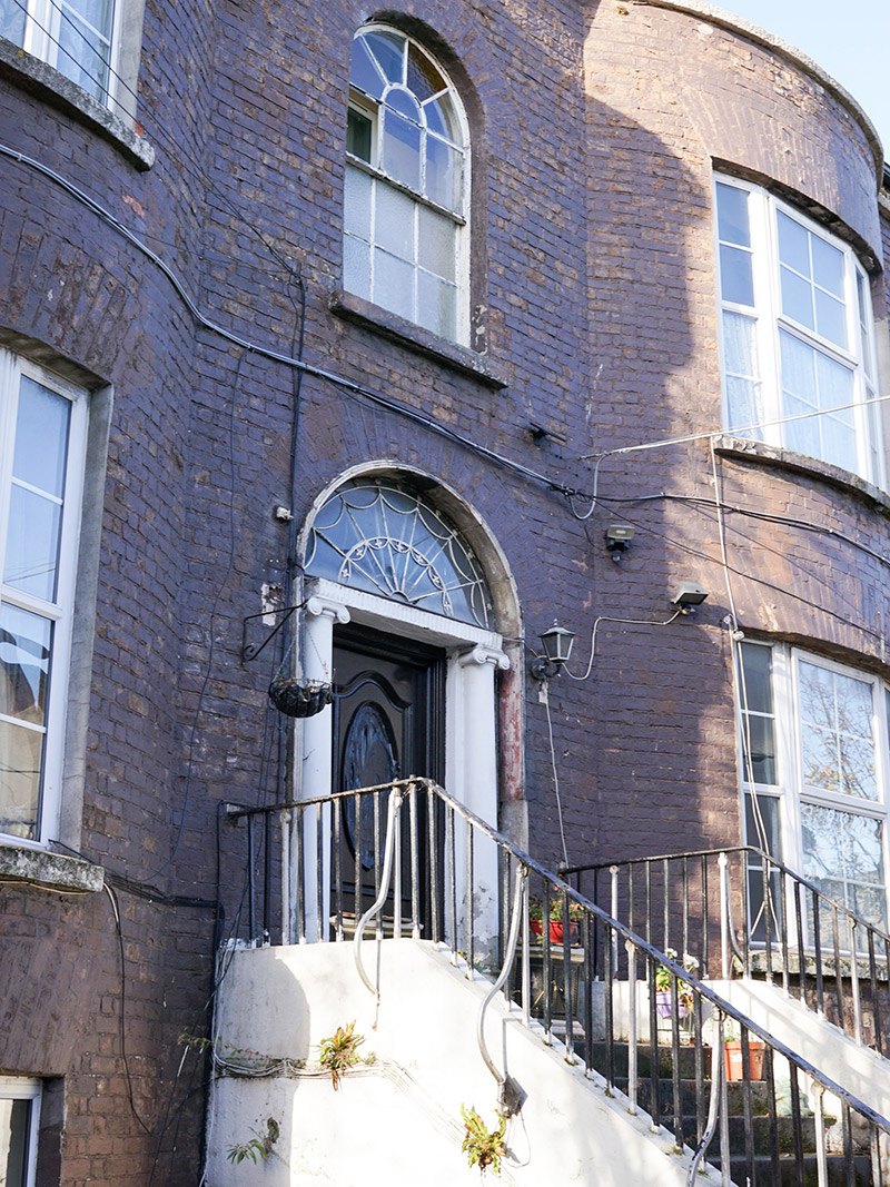
Attached three-bay two-storey former almshouse over raised basement, built 1815, presenting to distinctly different facades, current front facade facing west to street and having two-storey projecting central porch, and former frontage at rear (east) having full-height bowed end bays. Now in use as flats. M-profile pitched slate roof with clay ridge tiles, partly hidden by rendered parapet with render coping, and having rendered and red brick chimneystacks to gable ends with clay pots. Rendered walling to west elevation with render quoins; red brick walling, laid in Flemish bond to east and south elevations. Round-headed fixed timber window to first floor of porch and three-over-six pane sliding sash to middle bay of first floor of east elevation; square-headed window openings elsewhere to east and west elevations, with granite sills to east elevation and raised render reveals and sills to west; double one-over-one pane timber sliding sash window to first floor behind porch; replacement uPVC frames elsewhere to east and west elevations. Square-headed doorway to west elevation, with detached fanlight having replacement uPVC frame, timber doorcase with recent glazed sidelights, and double-leaf half-glazed/half-timber panelled door, approached by four granite steps flanked by recent steel railing; round-headed doorway to east with moulded render surround, masonry doorcase comprising Ionic columns, fluted frieze and two-stage cobweb fanlight and replacement timber panelled door, approached by flight of granite steps flanked by wrought-iron railings on rendered plinth wall.
Appraisal
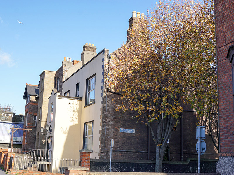
Despite the newer façade to what now serves as the front elevation, this house is the better preserved of two houses built in 1815 by the Latouche family as widows almshouses. The bows flanking the former front (now rear) entrance create an interesting plan form, while the doorcase and fanlight show skill and artistry in their composition. The house is named Widows Retreat on the 1837 Ordnance Survey map, as Retreat School and Widows Houses on the 1907 Ordnance Survey Map, and is mentioned briefly in Lewis's 1837 Topographical Dictionary. Widows were allowed 2s 6d per week to live on and meals were provided in a common area. The building is a significant component on the streetscape of Drumcondra Road Lower, which is part of the Great Drogheda Road, one of the principal ancient routeways leading north from the city.