


Survey Data
Reg No
50080435
Rating
Regional
Categories of Special Interest
Archaeological, Architectural, Historical, Social
Previous Name
Bluebell Grave Yard
Original Use
Graveyard/cemetery
In Use As
Graveyard/cemetery
Date
1200 - 1400
Coordinates
310590, 232367
Date Recorded
14/06/2013
Date Updated
--/--/--
Description
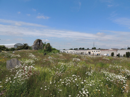
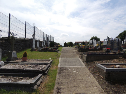
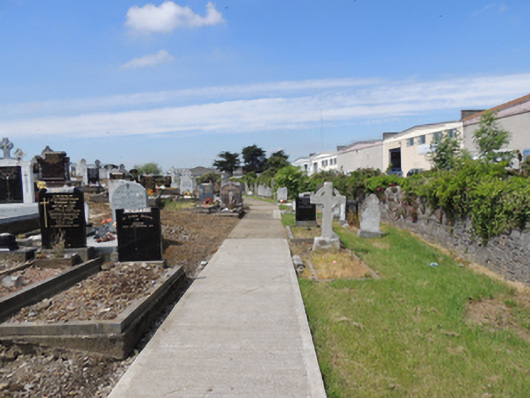
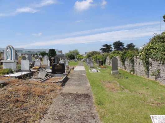
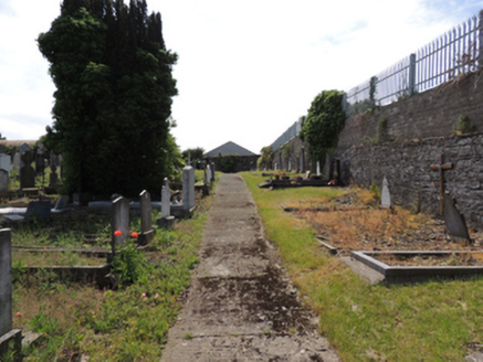
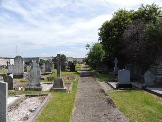
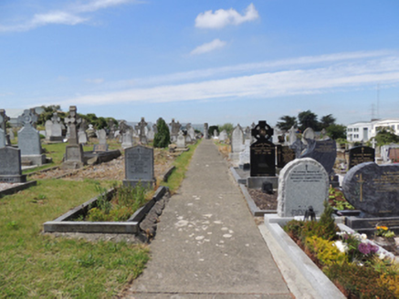
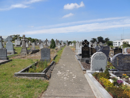
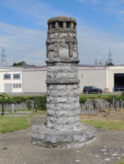
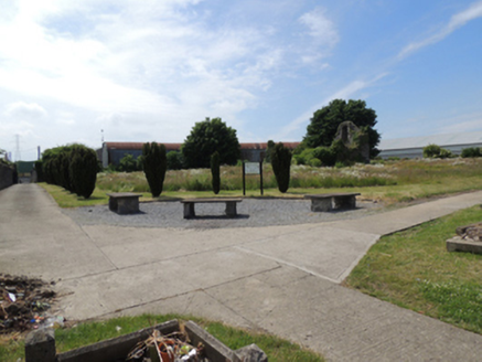
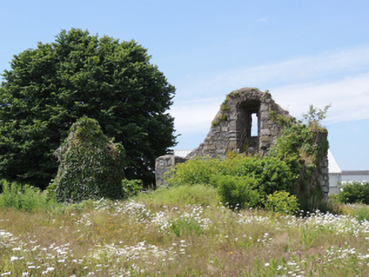
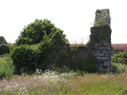
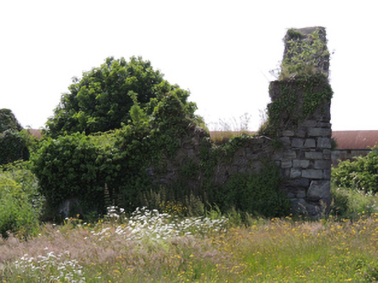
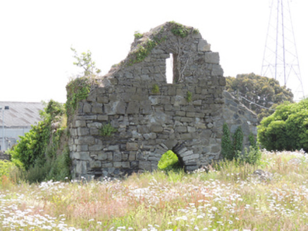
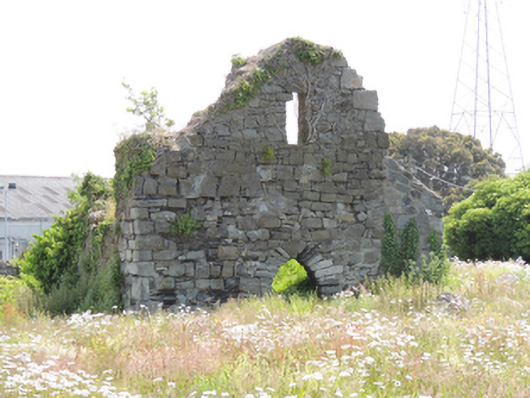
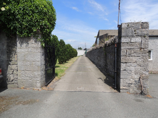
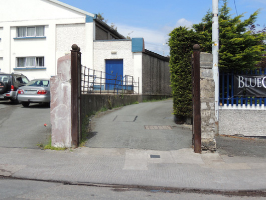
Enclosed irregular-plan graveyard, consisting of early graveyard with thirteenth-century church to south, extended to north 1905. Roofless ruinous remains of medieval rubble limestone church, having surviving gable, rubble stone walls, square-headed window opening with chamfered reveals and rubble stone voussoirs to interior, pointed arch door opening with rubble stone voussoirs. Poured concrete paths to later graveyard, converging in centre with limestone shaft. Rock-faced rusticated circular-profile limestone shaft, having cross motif and string courses, set on octagonal-profile plinth. Rubble limestone boundary walls with gateway to south-east corner, having square-profile tooled limestone piers with double-leaf cast-iron gates, giving onto laneway to south to Old Naas Road. Rendered gate piers with cast-iron posts to south end of lane.
Appraisal
The church appears to have been in use in 1547 at the time of the dissolution of Saint Patrick’s Cathedral. The earliest known gravestone dates to 1713. Church of Ireland burials took place from 1742 to 2001, and the graveyard was extended to the north as far as the Camac River in 1905. The early graveyard is shown in the 1844 Ordnance Survey map. Church is noted as being in ruins on the 1911 Ordnance Survey map. This site attests to the long-standing ecclesiastical presence in the locality, and is of significant importance in the social history of the area. The once rural area of Bluebell was developed by Dublin City Corporation from the 1960s, and the cemetery is now surrounded by industrial estates.