


Survey Data
Reg No
50080431
Rating
Regional
Categories of Special Interest
Architectural, Historical, Social, Technical
Original Use
Bridge
In Use As
Bridge
Date
1770 - 1780
Coordinates
309395, 232393
Date Recorded
14/06/2013
Date Updated
--/--/--
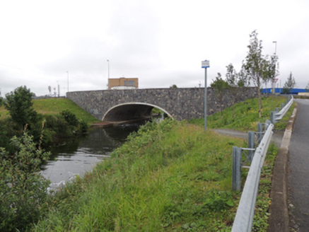
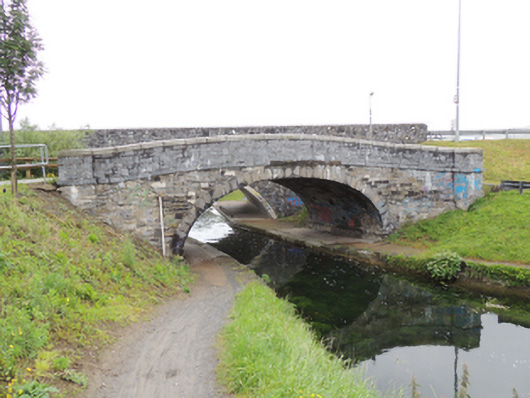
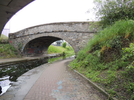
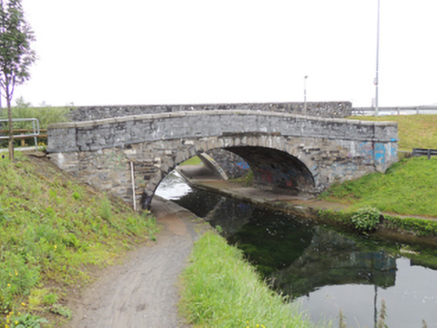
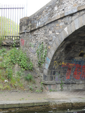
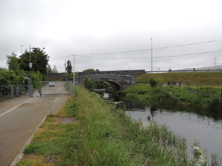
Description
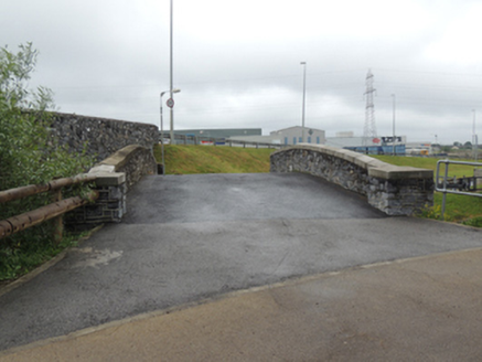
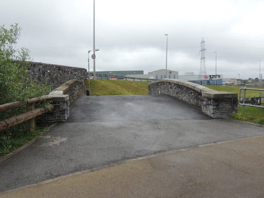
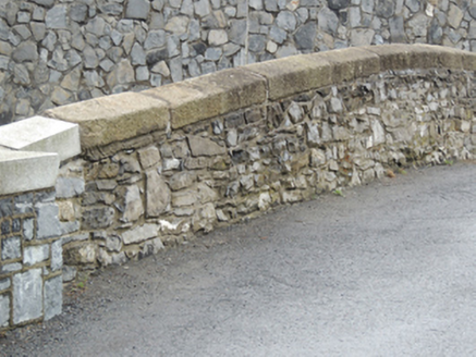
Single-arch limestone canal bridge, built c.1775, carrying Killeen Road over Grand Canal. Partly rebuilt. Elliptical arch having cut limestone voussoirs. Coursed dressed and rubble limestone walls to east and west elevations, having tooled limestone stringcourse, and splayed parapet walls terminating in square-profile limestone piers. Cut granite copings with replacement coping to east elevation. Located to east of Killeen Road bridge spanning Grand Canal. Tarmacadam to carriageway. Concrete towpath to south bank.
Appraisal
A traditionally constructed bridge in well cut locally-sourced stone resulting in an appealing textured visual effect. It retains its early character and it is one of a simple yet distinctive style of bridge found the length of the Grand Canal. The bridge is marked on the Ordnance Survey maps as ‘Ballyfermot Bridge’ and gave access from Killeen Paper Mills in the south to rural Ballyfermot in the north. Following the rapid expansion of Ballyfermot in the second half of the twentieth century, a replacement bridge was built to the immediate west, carrying Killeen Road over the Grand Canal. The Grand Canal, along with the Royal Canal, encircles Dublin city centre and provides a waterway connection between Dublin's River Liffey and the River Shannon. Construction of the canal began in 1757 and was completed in 1797.