


Survey Data
Reg No
50080032
Rating
Regional
Categories of Special Interest
Architectural, Social, Technical
Original Use
Quay/wharf
In Use As
Quay/wharf
Date
1840 - 1860
Coordinates
313666, 234273
Date Recorded
29/05/2013
Date Updated
--/--/--
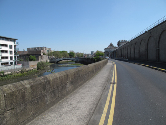
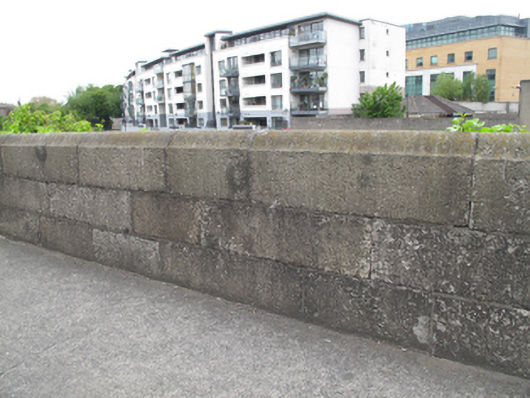
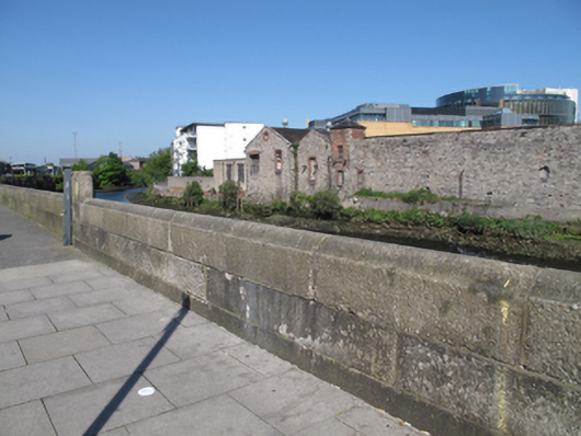
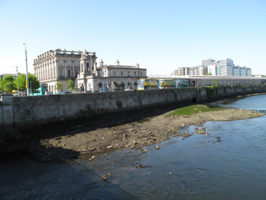
Description
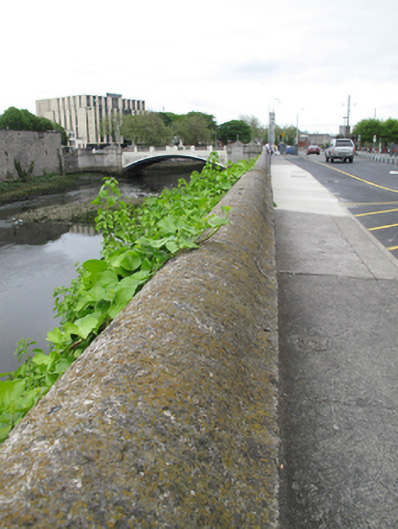
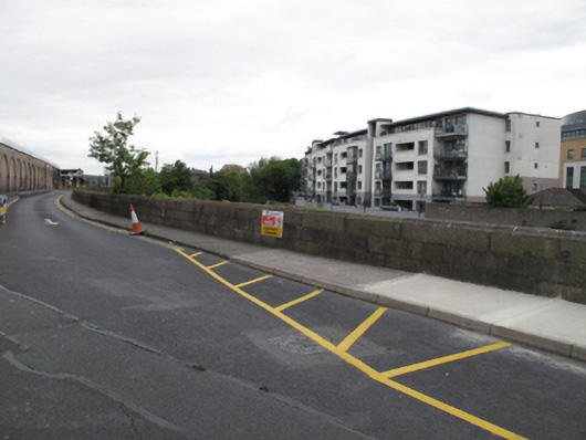
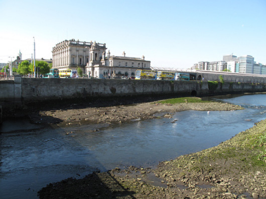
Tooled cut granite quay wall, built c.1850, having rounded profile to top. Round arch to culvert to north elevation, dressed granite voussoirs.
Appraisal
The construction of this quay wall in cut granite blocks attest to the high quality of stone masonry in the nineteenth century. It is not marked on the first edition Ordnance Survey map, and appears to have been constructed contemporaneously with Kingsbridge (now Heuston) Station. The Camac River was culverted at this time and flows into the Liffey at this point. The wall serves an important practical function in reclaiming sloblands and supporting the raised riverside east of Heuston Bridge. It is notable as a physical reminder of the civil engineering heritage of Dublin city, and makes a positive contribution to the landscape.