


Survey Data
Reg No
50070306
Rating
Regional
Categories of Special Interest
Architectural, Historical
Original Use
Building misc
In Use As
Building misc
Date
1740 - 1760
Coordinates
315153, 234577
Date Recorded
15/10/2012
Date Updated
--/--/--
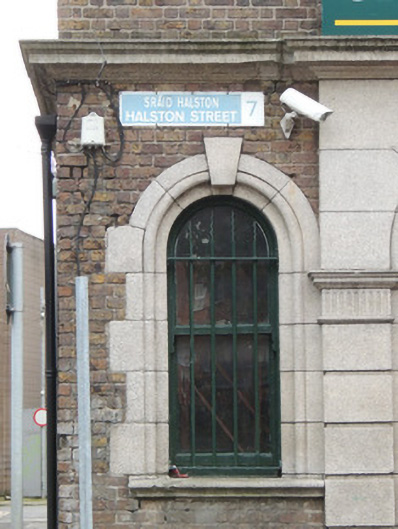
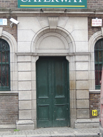
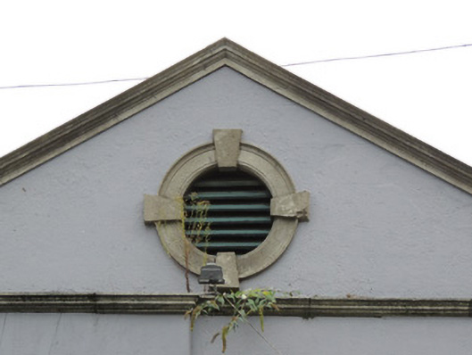
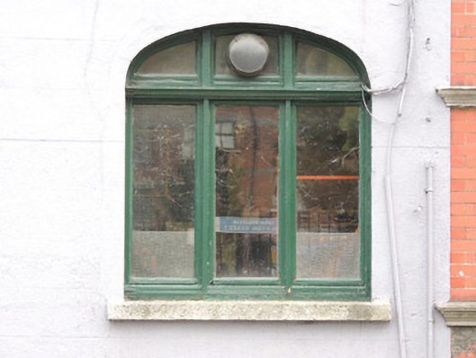
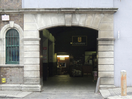
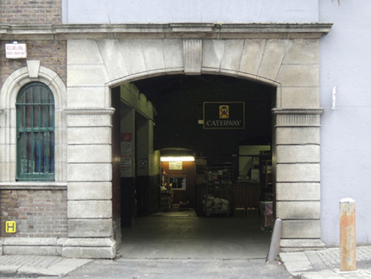
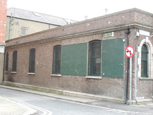
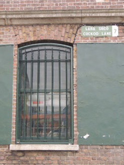
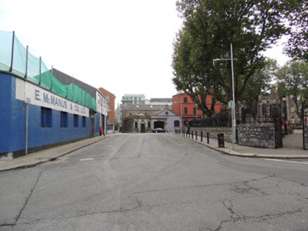
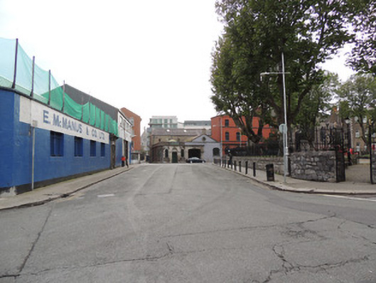
Description
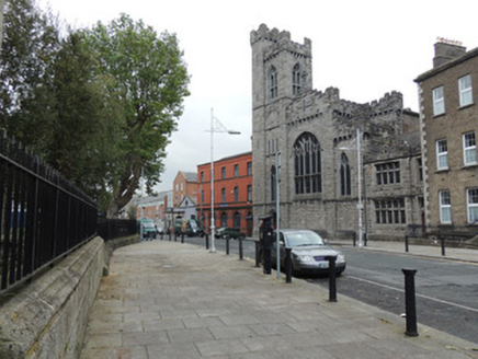
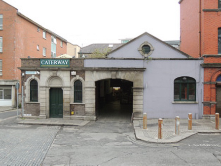
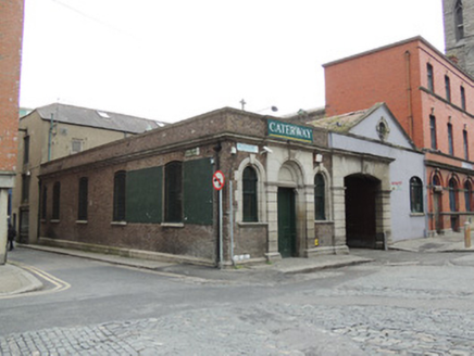
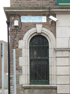
Corner-sited attached three-bay single-storey building, built c.1750, having five-bay south elevation, carriage arch to north end of front (east) elevation incorporated into later extension built 1949. Now in use as fruit and vegetable warehouse. Hipped replacement corrugated metal roof hidden behind parapet, pitched corrugated metal roof to extension. Brown brick walls laid in Flemish bond with cut granite cornice to parapet, cut granite cornice above entrances. Metal street name plaques to Halston Street and Cuckoo Lane. Venetian window arrangement to east elevation, having round-headed window opening on either side of round-headed door opening. Carved granite voussoirs and key stone to windows with cut stone block-and-start surround and cut granite sills. Round-headed door opening with cut granite voussoirs and fluted keystone, having rusticated pilasters, tympanum, and double-leaf timber panelled door. Segmental-headed window openings to south elevation, having cut granite sills and timber casement windows. Cut granite camber-headed carriage arch to north, sharing carved cornice, with channelled voussoirs and engaged pilasters, and central fluted keystone. Pediment to gable to extension to north, having some carved granite to cornice moulding, containing oculus window with render surround. Elliptical-headed window opening to extension, having tripartite timber casement window. Recent paving with granite kerbstones to Halston Street, poured cement path to Cuckoo Lane. Setts to road at corner of Halston Street and Cuckoo Street.
Appraisal
The area west of Capel Street thrived as a market district throughout the eighteenth, nineteenth and twentieth centuries. No.17 Halston Street continues its commercial tradition as a fruit wholesalers. This building was joined to its neighbour to the north which seems to have been in the same ownership, by a 1949 extension by Jones & Kelly. This extension appears to have incorporated an existing carriage arch on the site into its front elevation, and referenced the classical tradition of its neighbours with an oculus window and pediment, both detailed in render, as stone carving had become prohibitively expensive by the mid-twentieth century. This highlights the importance of the survival of the well executed eighteenth-century carved granite, which enhances the principle elevation of the older building. It is possible that this corner-sited building is the same as that shown on Rocque’s map of 1756.