


Survey Data
Reg No
50070067
Rating
Regional
Categories of Special Interest
Architectural, Artistic
Original Use
House
In Use As
Apartment/flat (converted)
Date
1760 - 1765
Coordinates
314139, 235142
Date Recorded
02/01/2013
Date Updated
--/--/--
Description
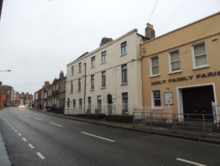
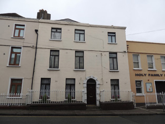
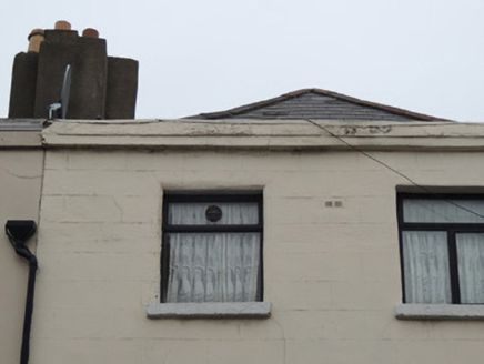
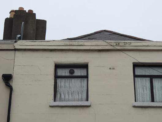
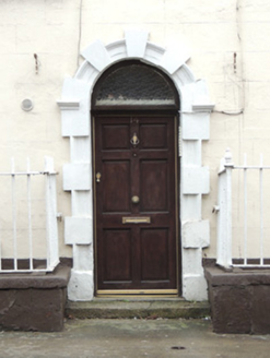
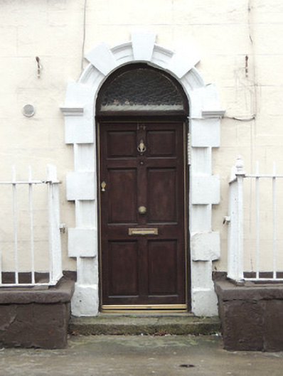
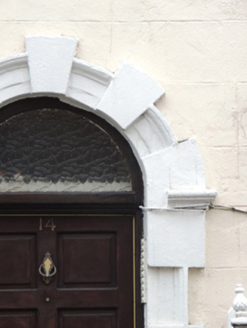
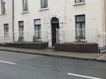
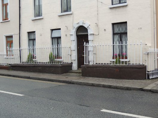
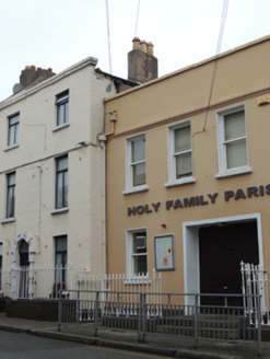
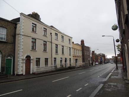
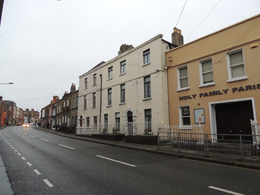
Attached three-bay three-storey house, one of a pair built 1761, with three-storey return to rear (west) elevation. Now in use as apartments. Hipped slate roof, with rendered chimneystacks on north party wall and on south gable wall, cast-iron rainwater goods. Lined-and-ruled rendered walls to front (west) elevation, having moulded cornice to parapet. Square-headed window openings with, rendered reveals, painted cut granite sills, and replacement timber casement windows. Round-headed door opening, having carved stone Gibbsian surround, replacement door and fanlight, granite step. Wrought-iron railings on rendered plinth enclosing area to front
Appraisal
Forming one of a pair of late eighteenth-century houses, no.15 Prussia Street was built in 1761. The parapet height of the pair is slightly higher than later two-storey late Georgian houses attached to the north and a twentieth century building to the south on Prussia Street. Their tall elevations are a reminder of their early Georgian character. A carved Gibbsian doorcase and enclosed area to the front provide interest to the streetscape. Although like many of the houses on this street, its facade has undergone alterations and refenestration over the centuries, it retains much of its early character. Prussia Street, formerly known as Cabra Lane, is an ancient routeway from Dublin city and a continuation of Manor Street. The west side of Cabra Lane was largely developed by the time of Rocque’s 1756 map of Dublin, and the east side developed from the 1760s, making this one of the earliest surviving houses on the street. The house is present on the first edition Ordnance Survey map of 1837.