


Survey Data
Reg No
50020470
Rating
Regional
Categories of Special Interest
Architectural, Artistic, Historical, Social
Previous Name
Tedcastle Steamer Company
Original Use
Store/warehouse
Date
1910 - 1915
Coordinates
316864, 234309
Date Recorded
22/04/2015
Date Updated
--/--/--
Description
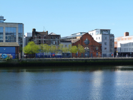
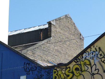
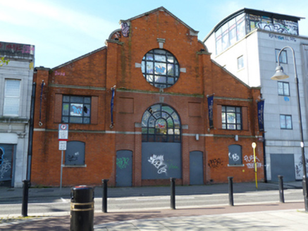
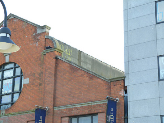
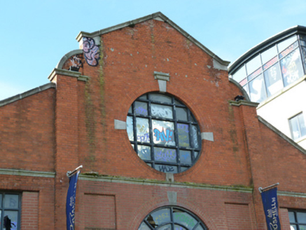
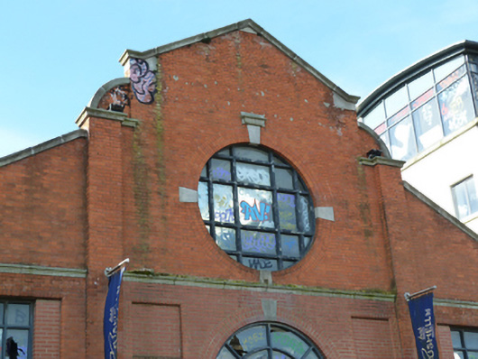
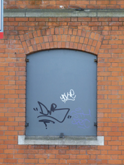
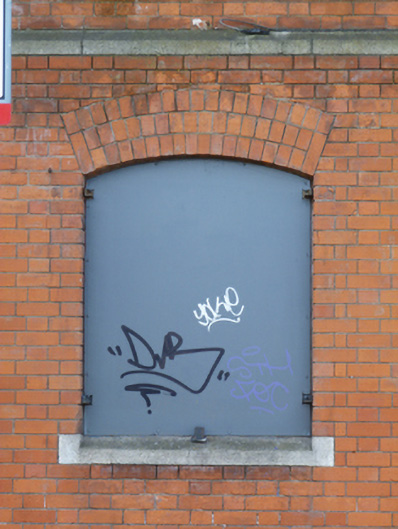
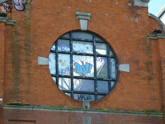
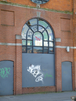
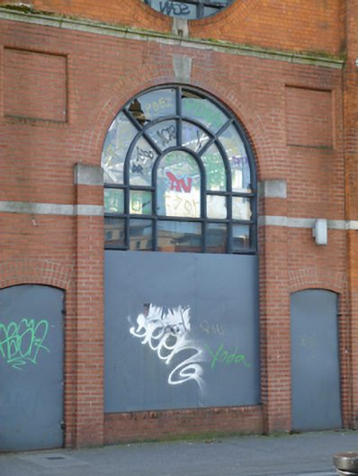
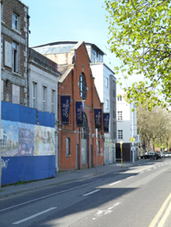
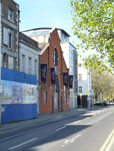
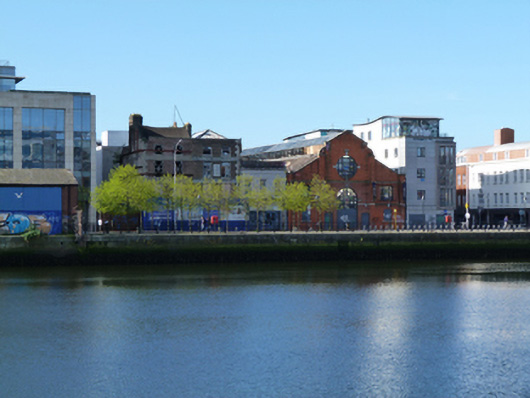
Attached gable-fronted three-bay two-storey former warehouse, built 1913-14, now disused. Pitched slate roof, set perpendicular to street, with glazed clerestory to ridge, carved granite coping to gable, square-profile cast-iron rainwater goods to front (north) elevation. Red brick walls, laid in Flemish bond, with granite string courses and red brick pilasters with granite coping, having recessed red brick panels to front, yellow brick walls laid in Flemish bond to rear (south) elevation. Segmental-headed window openings with flush granite sills to ground floor, now blocked, square-headed window openings in recessed panels having bull-nosed red brick surrounds with replacement timber frame windows, oculus to apex of gable having flush granite keystones and replacement timber fixed pane window. Double-height round-headed opening with raised red brick pilasters, flush granite keystones to centre framed by segmental-headed door openings, added c.1980, doors and lower part of double-height window blocked. Located on south side of Sir John Rogerson’s Quay.
Appraisal
An elegant façade to what is otherwise a strictly utilitarian building. Its gable-fronted form with raised clerestory roof, is typical of the later warehouses built on the quays around the start of the twentieth century. Designed by James Evans for Tedcastle McCormack, a ship-owner, it was built on the site of an earlier factory, and was later occupied by the British & Irish Steam Packet Company. The building contributes to the architectural variety of the waterfront and is a reminder of its mercantile past. Sir John Rogerson’s Quay was laid out in the early eighteenth century. Rogerson, a member of the city council and Lord Mayor of Dublin, had owned land in the area since 1713. By the late 1720s the quay wall extended from Creighton Street to Lime Street and is depicted on Brooking’s map of 1728. His contemporary prospect shows gable-fronted houses lining the quay. Following the development of the Grand Canal Docks the area became characterised by mixed domestic and commercial buildings and warehousing.