


Survey Data
Reg No
40903828
Rating
Regional
Categories of Special Interest
Architectural, Technical
Original Use
Bridge
In Use As
Bridge
Date
1770 - 1830
Coordinates
240984, 423095
Date Recorded
19/11/2008
Date Updated
--/--/--
Description
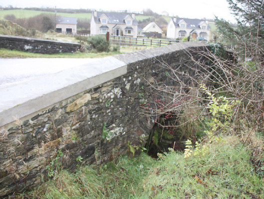
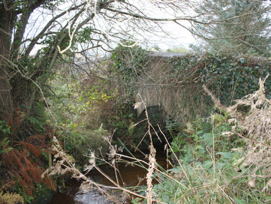
Double-arch road bridge over stream. built c. 1800. Two round-headed arches, one blocked by vegetation, dressed rubble stone voussoirs, v-shaped rubble stone cutwaters with rubble stone domed cap. Random rubble stone spandrels and parapets, saddle-backed concrete coping to parapets with concrete repairs to north part of west parapet. Tarmac double carriageway
Appraisal
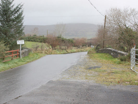
Located in a rural area, this modest but robust bridge is an appealing landmark with its small but well-crafted arches. Still fulfilling its vital function of spanning a stream on a rural road, this early-nineteenth century bridge demonstrates quality craftsmanship and engineering. It is marked on the Ordnance Survey first edition six-inch map, surveyed 1833.