


Survey Data
Reg No
40403809
Rating
Regional
Categories of Special Interest
Architectural, Technical
Original Use
Bridge
In Use As
Bridge
Date
1730 - 1770
Coordinates
248978, 285701
Date Recorded
24/06/2012
Date Updated
--/--/--
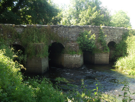
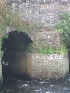
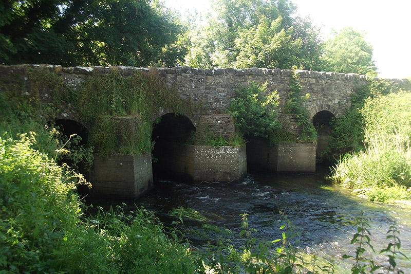
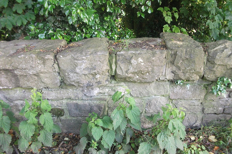
Description
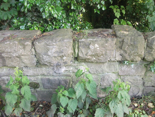
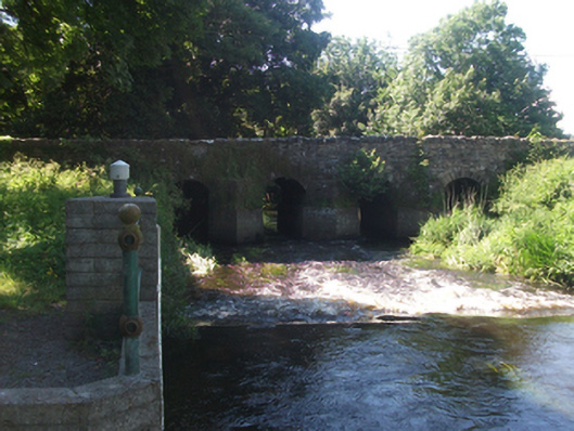
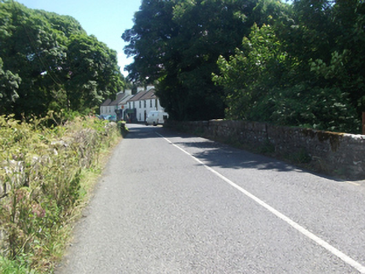
Four-span limestone road bridge, built c.1750, over tributary to Lough Sheelin, with possible extension to north c.1820. Uncoursed random rubble spandrels and parapet with battered stone copings to east and Scotch copings to west. Round arches with regular roughly dressed limestone voussoirs, random rubble barrel on wide piers having rubble stone V-cutwaters on recent concrete footings to upstream elevation. Uncoursed random rubble wing walls battered at base.
Appraisal
An eighteenth century bridge shown on Taylor & Skinner’s map of 1778 with wide piers and narrow arches, a characteristic feature of contemporary bridge construction. The bridge is of a type which was widely replaced over the course of the nineteenth century in arterial drainage schemes to improve and the flow of rivers. Its form and fabric add to our understanding of developments in bridge construction over the eighteenth century, and serves as an example of bridge type now relatively uncommon. The bridge with its multiple arches, robust construction, rustic cutwaters, and substantial wing walls, presents a picturesque aspect and enhances the approach to the village of Mountnugent. It constitutes an interesting component of the civil engineering heritage of the county.