


Survey Data
Reg No
20851008
Rating
Regional
Categories of Special Interest
Architectural, Historical, Scientific, Social
Previous Name
Kinsale Infantry Barracks
Original Use
Barracks
In Use As
Gates/railings/walls
Date
1790 - 1810
Coordinates
164232, 50676
Date Recorded
11/03/2009
Date Updated
--/--/--
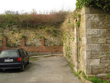
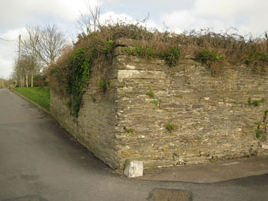
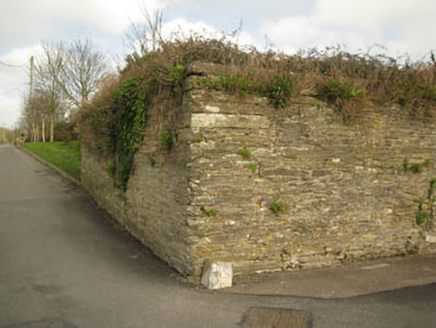
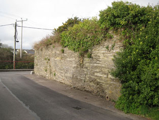
Description
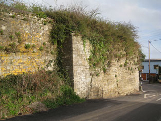
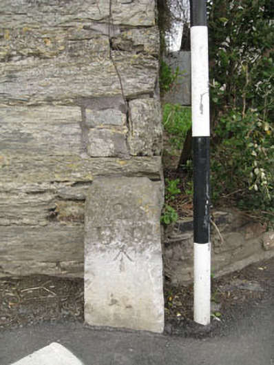
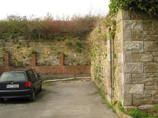
Freestanding enclosing wall, built c.1800, incorporating remains of various buildings. Historically used as enclosure of military barracks. Rubble stone walls built to courses with rusticated limestone quoins. Red brick repairs and red brick additions to south-east elevation. Structural remains such as voussoirs and surrounds of now blocked windows and doors also to south-west. Jostle stones with Ordnance Survey benchmarks and lettering to corners (north-west, south-west). Located on slope (north-west to south-east) with recent factory to interior.
Appraisal
This substantial structure covers a well defined area in the locality and serves as a reminder of the former military presence in the town. It still forms an imposing feature on its south side where the wall is preserved to considerable height. As well as the boundary wall there are remnants of other structural features that appear to match with buildings depicted on the 1st edition Ordnance Survey map.