


Survey Data
Reg No
20866048
Rating
Regional
Categories of Special Interest
Architectural
Original Use
House
In Use As
House
Date
1805 - 1810
Coordinates
165720, 71785
Date Recorded
28/03/2011
Date Updated
--/--/--
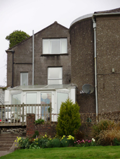
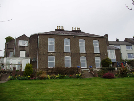
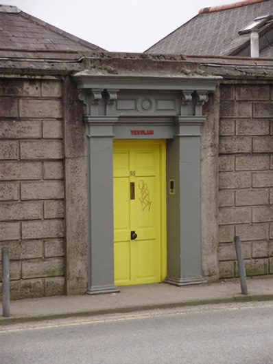
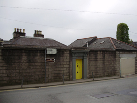
Description
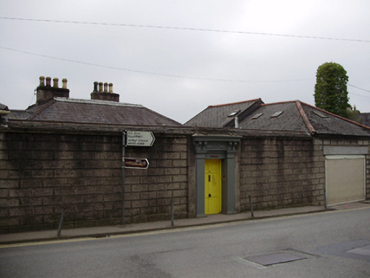
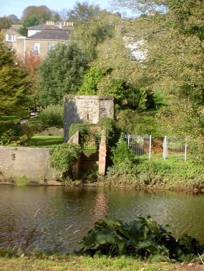
Detached four-bay two-storey house, built 1806,with full-height end bow to west elevation and having later extensions to east and west. Hipped slate roof with rendered chimneystacks and cast-iron rainwater goods, hipped artificial slate roof to western extension. Roughcast rendered walls, ruled-and-lined render walls to west extension. Camber-headed window openings with tooled limestone sills and replacement aluminium windows. Square-headed window openings to later extensions with aluminium windows. Square-headed door entrance to rear (north) having rendered pilasters supporting brackets, fascia and cornice to timber panelled door. Set within its own grounds with ruled-and-lined boundary wall to north. Rubble stone garden folly to south.
Appraisal
A substantial detached house that makes the most of its river side site, with a high ration of glazing to walls on the south elevation, which allows for the maximisation of sunlight and views. Its Georgian central block, west bow and historic additions are interesting reminders of changing requirements and fashions. The street entrance, set in a blank wall, is a feature that is repeated along Sunday’s Well Road, allowing for privacy to the streetfront and creating a sense of exclusion from the outside world for the residents within.