Survey Data
Garden No.
3694
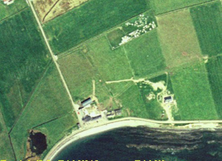
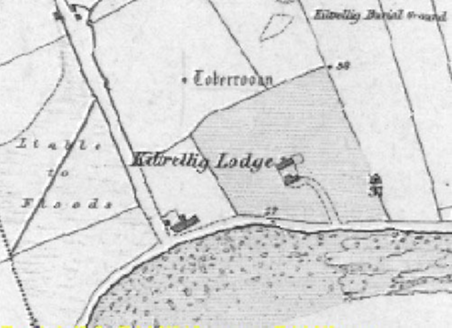
Townland
Kiltrellig
Present on Ordnance Survey
First Edition: Yes, sheet 140
Second Edition: Yes
Revised Edition: Yes
Garden No.
3694
Townland
Kiltrellig
Present on Ordnance Survey
First Edition: Yes, sheet 140
Second Edition: Yes
Revised Edition: Yes
| Overview | |
|---|---|
| Site Footprint Visible | No |
| Boundary Defined | Yes |
| Significant Development | No |
| Architectural Features | |
|---|---|
| Principal Building | No |
| Garden Building | No |
| Buildings of Indeterminate Purpose | No |
| Gateways and Gatehouses | No |
| Avenues, Drives and Walks | |
|---|---|
| Avenue | No |
| Drive or Walk | No |
| Garden Features | |
|---|---|
| Ornamental Garden | No |
| Walled Garden | No |
| Orchard | No |
| Parkland | No |
| Woodland | No |
| Natural Water Feature | No |
| Artifical Water Features | No |
| Allée | No |
| Vista | No |
| Other | No |