


Survey Data
Reg No
40901237
Rating
Regional
Categories of Special Interest
Architectural, Technical
Original Use
Bridge
In Use As
Bridge
Date
1780 - 1820
Coordinates
257711, 446604
Date Recorded
25/09/2008
Date Updated
--/--/--
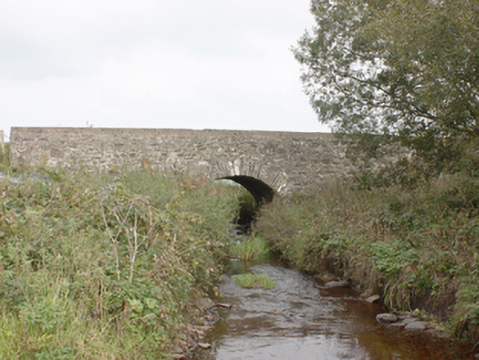
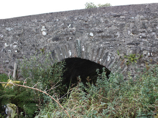
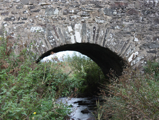
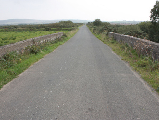
Description
Single-arch road over river bridge, built c. 1800. Segmental arch with squared rubble stone voussoirs. Random rubble walls and piers. Random rubble to vaults. Random rubble parapets with smooth rendered coping. Double carriageway with tarmac to deck.
Appraisal
A simple, attractive bridge with early masonry skills evident in its construction. It is very similar in style to other bridges in the area including Moglass Bridge (40901229), Milltown Bridge (40901217) and Ballintroohan Bridge (40901221), and thus constitutes an integral part of the area's historic environment and complements its rural setting well. It is marked, but not named, on the Ordnance Survey first edition six-inch map of c. 1837. After over two centuries of use, its continued use is testament to its design and construction.