


Survey Data
Reg No
14821008
Rating
Regional
Categories of Special Interest
Architectural
Original Use
Unknown
Date
1810 - 1850
Coordinates
218680, 205273
Date Recorded
14/09/2004
Date Updated
--/--/--
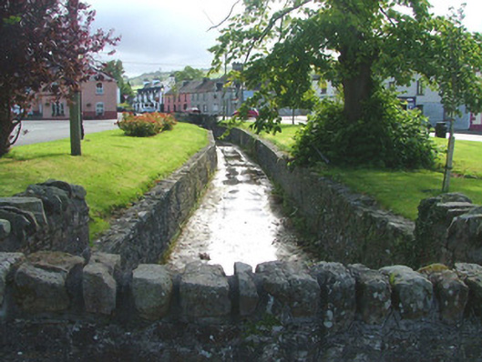
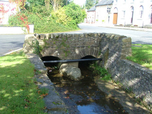
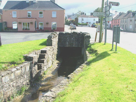
Description
Watercourse, built c.1830, runs from west to north-east. Lined with squared random course walls. Terminates at either end with coursed walls with soldier coping before entering culverts.
Appraisal
This watercourse houses the stream that runs through the centre of the village, providing a picturesque area marked as The Grove on historical maps. The construction of the stone walls was an endeavour to formalise the landscape of the town's central green. The result is an attractive leisure area that contributes to the built and natural heritage of the locality.