

Survey Data
Reg No
31307102
Rating
Regional
Categories of Special Interest
Architectural, Scientific, Technical
Original Use
Bridge
In Use As
Bridge
Date
1700 - 1838
Coordinates
130361, 297558
Date Recorded
13/12/2010
Date Updated
--/--/--
Description
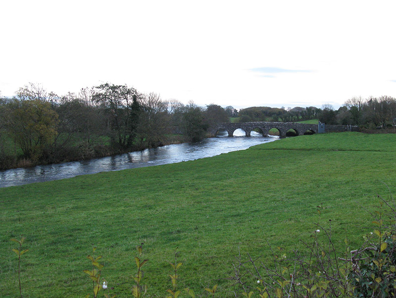
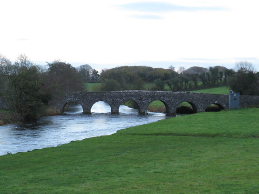
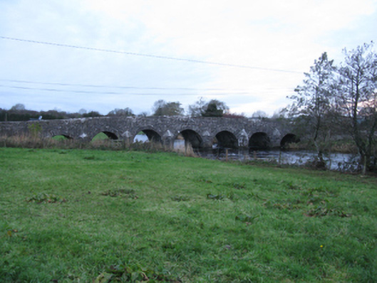
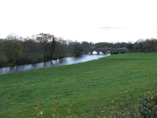
Seven-arch hump back road bridge over river, extant 1838. Repointed walls centred on triangular cutwaters to piers to upriver (south-east) elevation having pyramidal capping with lichen-covered coping to parapets. Series of seven round arches with repointed cut-limestone voussoirs. Sited spanning Gweestion River with grass banks to river.
Appraisal
A bridge representing an integral component of the civil engineering heritage of County Mayo with the architectural value of the composition suggested not only by the traditional construction in unrefined local fieldstone offset by limestone dressings demonstrating good quality workmanship, but also by the elegant "sweep" of the arches making a pleasing visual statement at a crossing over the Gweestion River: meanwhile, a much weathered benchmark remains of additional interest for the connections with cartography and the preparation of maps by the Ordnance Survey (established 1824).