
Survey Data
Reg No
31215017
Rating
Regional
Categories of Special Interest
Architectural, Scientific, Technical
Original Use
Bridge
In Use As
Bridge
Date
1840 - 1850
Coordinates
119044, 264534
Date Recorded
24/11/2010
Date Updated
--/--/--
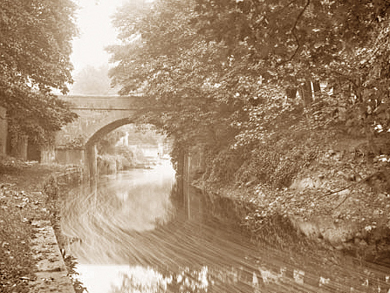
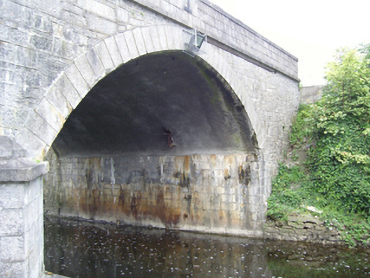
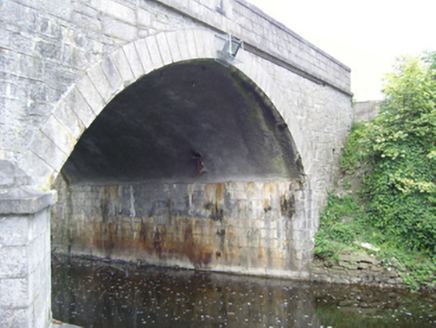
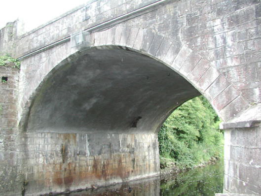
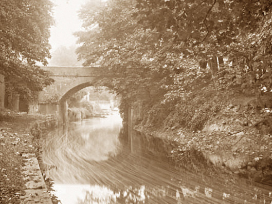
Description
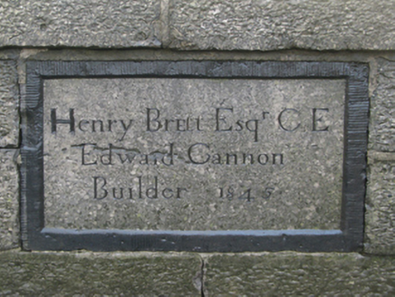
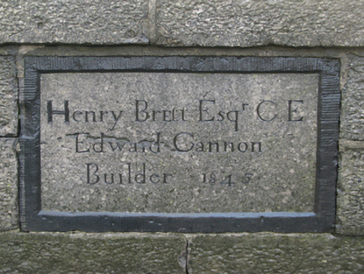
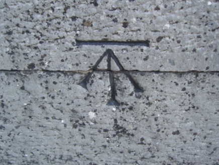
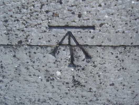
Single-arch road bridge over canal, dated 1845; extant 1849. Repointed snecked limestone walls with drag edged tooled cut-limestone stringcourses supporting benchmark-inscribed parapets having drag edged tooled cut-limestone "saddleback" coping centred on cut-granite date stone ("1845") in dragged cut-limestone surround. Single segmental arch with repointed drag edged rusticated limestone ashlar voussoirs. Sited spanning canalised Robe River with retaining wall to canal having tooled cut-limestone coping.
Appraisal
A bridge erected to a design by Henry Brett CE (d. 1882), County Surveyor for County Mayo (appointed 1836; transferred 1849), representing an integral component of the mid nineteenth-century civil engineering heritage of Ballinrobe with the architectural value of the composition, one succeeding an eighteenth-century bridge immortalised in "Robe Villa, Ballinrobe" (1818) by James Arthur O'Connor (1791-1842), confirmed not only by the "sparrow pecked" sheer limestone dressings demonstrating good quality workmanship, but also by the elegant "sweep" of the arch making a pleasing visual statement at a crossing over the canalised Robe River: meanwhile, a benchmark remains of additional interest for the connections with cartography and the preparation of maps by the Ordnance Survey (established 1824).