


Survey Data
Reg No
31211052
Rating
Regional
Categories of Special Interest
Architectural, Artistic, Scientific, Technical
Original Use
Bridge
In Use As
Bridge
Date
1761 - 1838
Coordinates
98357, 284722
Date Recorded
21/08/2008
Date Updated
--/--/--
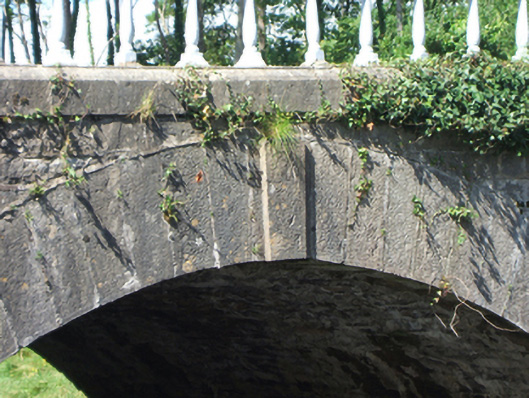
Description
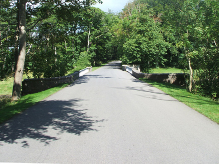
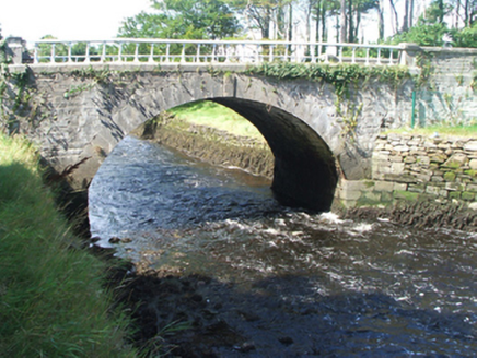
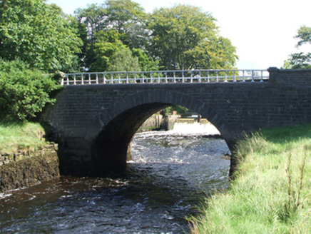
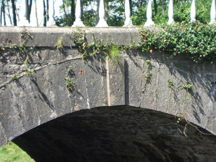
Single-arch road bridge over river, extant 1838. Part ivy-covered tuck pointed limestone ashlar walls with dragged cut-limestone "saddleback" coping supporting drag edged dragged cut-limestone piers having beaded stringcourses below stepped capping centred on balustraded parapets. Single segmental arch with drag edged tooled limestone ashlar voussoirs centred on drag edged tooled cut-limestone keystones. Set in landscaped grounds shared with Westport House spanning Westport or Carrowbeg River.
Appraisal
A bridge erected as one of a non-identical pair (including 31212008) illustrating the continued development or "improvement" of the Westport House estate at the turn of the nineteenth century with the architectural value of the composition confirmed not only by the "sparrow pecked" sheer limestone dressings demonstrating good quality workmanship, but also by the elegant "sweep" of the arch making a pleasing visual statement at a crossing over the Westport or Carrowbeg River: meanwhile, a benchmark remains of additional interest for the connections with cartography and the preparation of maps by the Ordnance Survey (established 1824).