Survey Data
Reg No
12404215
Rating
Regional
Categories of Special Interest
Architectural, Technical
Original Use
Bridge
In Use As
Bridge
Date
1815 - 1835
Coordinates
253627, 115096
Date Recorded
07/12/2004
Date Updated
--/--/--
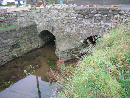
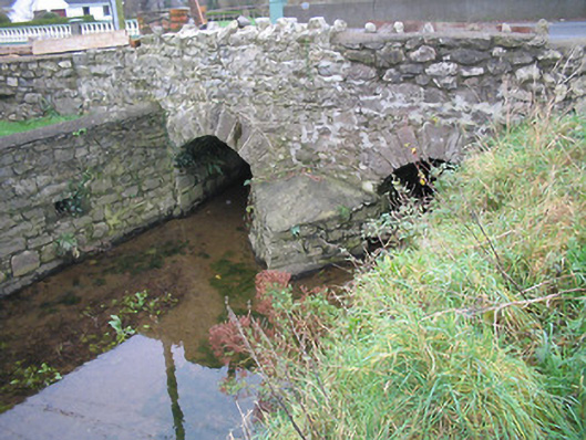
Description
Two-arch rubble stone road bridge over stream, c.1825. Widened, c.1975, accommodating two-span section to south. Random rubble stone walls with squared rubble stone triangular cut-water to pier having rendered coping, rubble stone battlemented coping to parapet, and unpainted rendered wall to south. Pair of round arches with dressed rubble stone voussoirs, rubble stone soffits, and pair of reinforced concrete flat spans to south. Sited spanning stream with grass banks to stream having random rubble stone retaining walls.
Appraisal
Forming a pleasant, if subtle feature in the local landscape a modest-scale bridge represents the technical or engineering achievements of two centuries as identified by the construction of the arches and spans.