

Survey Data
Reg No
12400103
Rating
Regional
Categories of Special Interest
Architectural, Scientific, Technical
Original Use
Bridge
In Use As
Bridge
Date
1790 - 1810
Coordinates
247116, 179084
Date Recorded
16/10/2004
Date Updated
--/--/--
Description
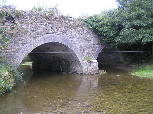
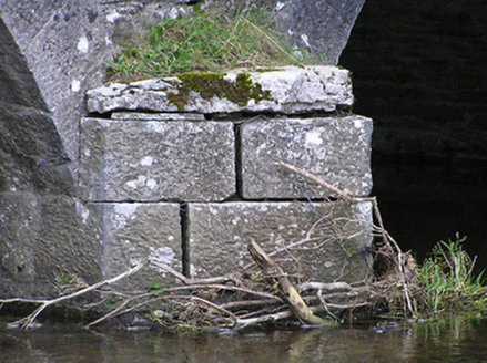
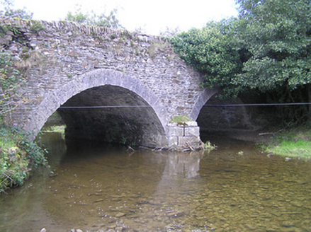
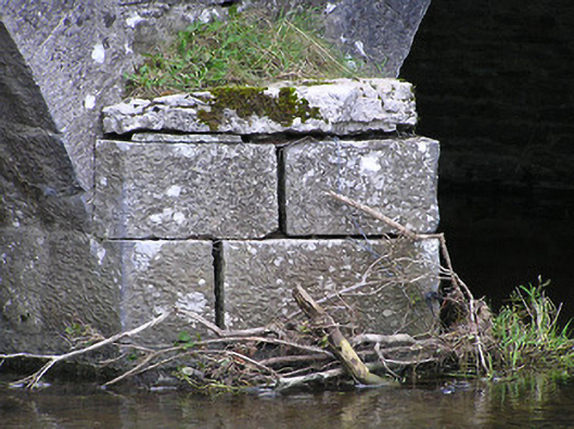
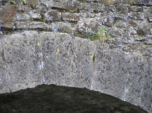
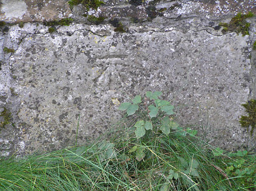
Two-arch rubble limestone road bridge over river, c.1800. Random rubble limestone walls with tooled limestone ashlar triangular cut-water to pier, inscribed benchmark, and rubble limestone coping to parapets having sections of cut-limestone rounded coping. Pair of segmental arches with tooled limestone ashlar voussoirs, and rubble stone soffits having render over. Sited spanning Ouveg River with grass banks to river.
Appraisal
A pleasantly-appointed modest-scale bridge representing an important element of the late eighteenth- or early nineteenth-century civil engineering heritage of County Kilkenny as identified by features including the construction of the arches. Limestone ashlar dressings displaying expert stone masonry introduce a refined element contrasting with the rustic quality produced by the construction in locally-sourced rubble stone. An inscribed benchmark indicates the additional importance of the site on account of the associations with cartography and the preparation of maps by the Ordnance Survey.