
Survey Data
Reg No
12005037
Rating
Regional
Categories of Special Interest
Architectural
Original Use
Gates/railings/walls
In Use As
Gates/railings/walls
Date
1790 - 1810
Coordinates
250328, 156338
Date Recorded
07/07/2004
Date Updated
--/--/--
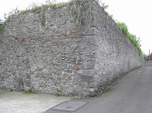
Description
Section of random rubble stone boundary wall, c.1800, on an L-shaped plan possibly originally incorporating square-headed carriageway. Road fronted.
Appraisal
Exhibiting a traditional construction in unrefined locally-sourced rubble stone a substantial boundary wall identified on archival editions of the Ordnance Survey as "The Colonnade" forms an appealing feature in an historic setting.