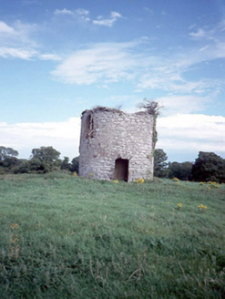
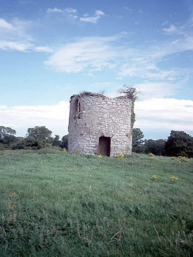
Survey Data
Reg No
11362021
Rating
Regional
Categories of Special Interest
Architectural
Original Use
Mill (wind)
Date
1780 - 1820
Coordinates
308817, 236549
Date Recorded
15/08/2000
Date Updated
--/--/--
Description
Ruined windmill tower, c.1800, on a circular plan with random rubble stone walls, containing water storage unit within. Possibly site of holy well.