


Survey Data
Reg No
50081000
Original Use
House
In Use As
House
Date
1870 - 1890
Coordinates
315186, 232462
Date Recorded
22/10/2013
Date Updated
--/--/--
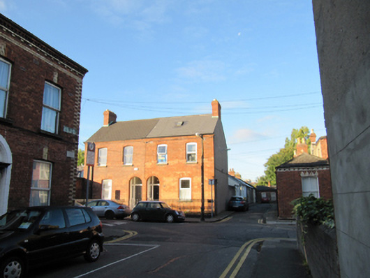
Description
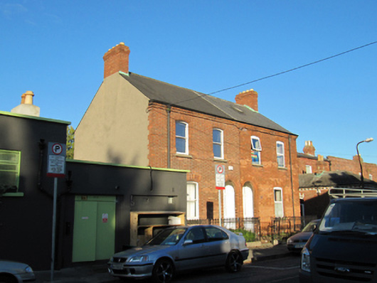
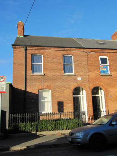
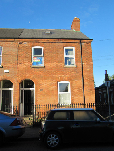
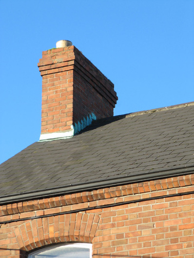
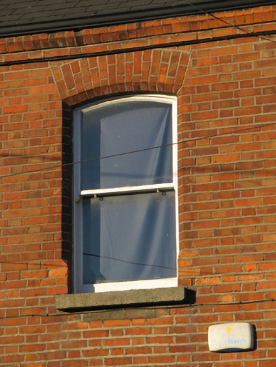
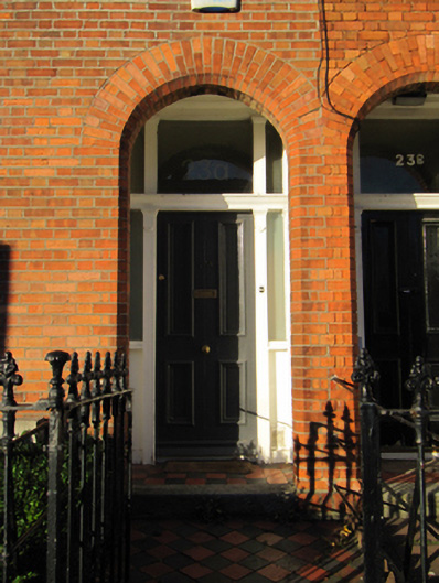
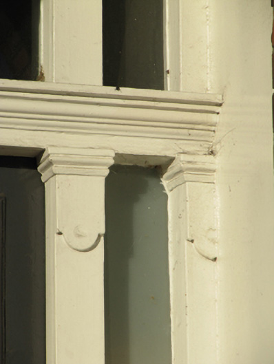
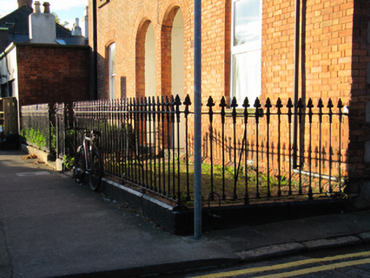
Semi-detached pair of two-bay two-storey houses, built c.1880, having lower two-storey returns to rear (west) elevation. Pitched artificial slate roof having red brick chimneystacks, chamfered red brick eaves course, and some cast-iron rainwater goods. Red brick walls laid in Flemish bond, rendered walls to gables and rear elevation. Segmental-arched window openings with chamfered reveals, granite sills, one-over-one pane timber sash windows and replacement uPVC windows. Round-arched porch openings with chamfered red brick reveals. Recessed square-headed door openings having carved timber door surrounds with sidelights, overlights, and timber panelled doors, approached by tiled platforms with granite steps, and tiled paths. Cast-iron railings on cut granite plinths to front gardens, with matching pedestrian gates.
Appraisal
The South Circular Road was laid out in the eighteenth century, but the majority of development around it took place in the late nineteenth century to provide new suburban housing for the burgeoning middle class. Bloomfield Avenue was laid out but largely undeveloped on the first Ordnance Survey map, and houses were built in small groups over the following decades, leading to minor variations in house types which enliven the groups. The bright machine-made brick is typical of the late Victorian era, and the use of chamfered bricks enhances the openings. The pair retains much historic fabric, including timber doorcases, timber sash windows, and cast-iron railings and gates.