


Survey Data
Reg No
50070315
Rating
Regional
Categories of Special Interest
Architectural
Original Use
House
In Use As
House
Date
1720 - 1760
Coordinates
314928, 234509
Date Recorded
30/09/2012
Date Updated
--/--/--
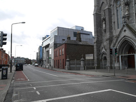
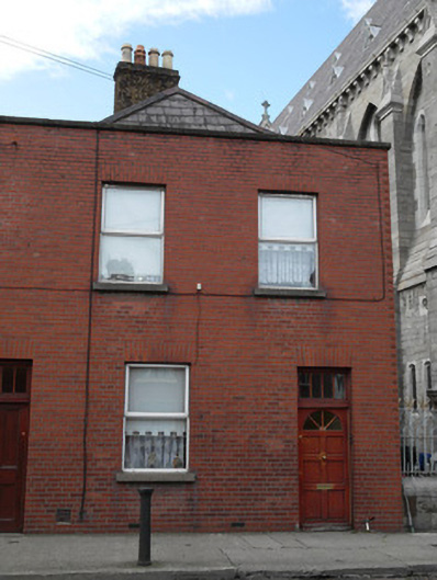
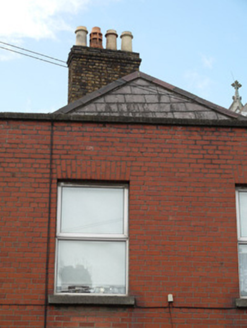
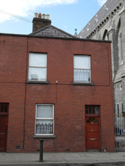
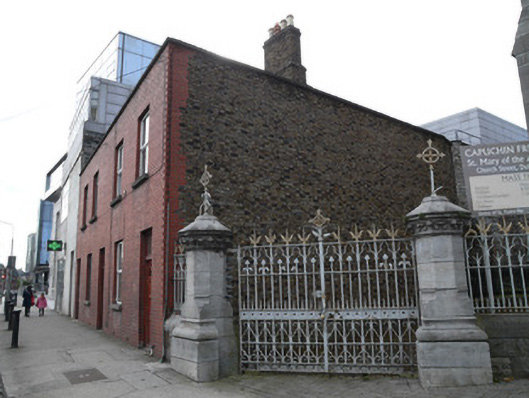
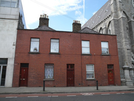
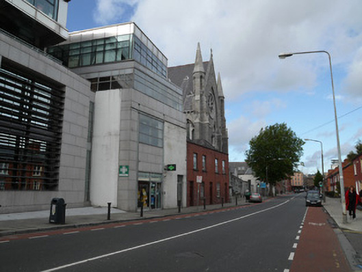
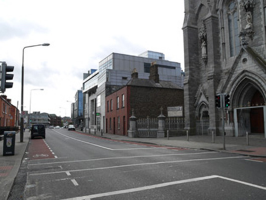
Description
Terraced two-bay two-storey house, built c.1740, with later front (east) facade. Hipped slate roof having granite capping to parapet. Brown brick chimneystack having clay chimney pots. Brown brick walls to north elevation laid in Flemish bond. Red brick walls laid in English Garden Wall bond to front elevation. Square-headed window openings having granite sills. Replacement windows. Square-headed door opening having recent timber door and overlight.
Appraisal
One of two similar terraced houses with a central door between. The central door indicates the former presence of a lane into the centre of the block as depicted on Rocque's 1756 map of Dublin. A similar pair of houses on Bow Street indicate the lane may have run through the block. While the front facade appears to have been rebuilt in the twentieth century early fabric is evident in the roof structure, chimneystack and north elevation. The proportions of the earlier house remain and act as a reminder that Church Street, a historic road leading north from the city centre, has adapted over centuries.