


Survey Data
Reg No
50060354
Rating
Regional
Categories of Special Interest
Architectural, Social, Technical
Original Use
Quay/wharf
In Use As
Quay/wharf
Date
1810 - 1830
Coordinates
314508, 234293
Date Recorded
29/09/2014
Date Updated
--/--/--
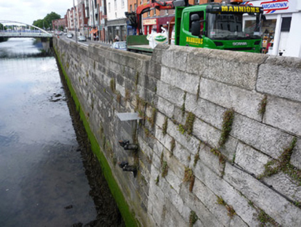
Description
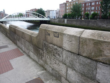
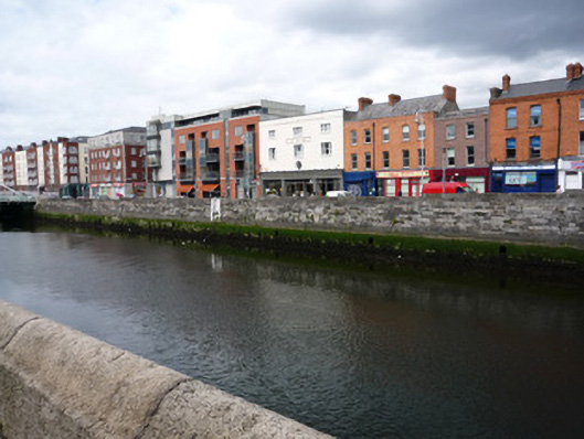
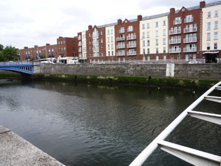
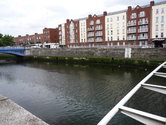
Ashlar evenly coursed stugged granite quay wall, built c.1820, located to north bank of River Liffey between Rory O'More Bridge to west and Mellows Bridge to east, intersected by Samuel Beckett Bridge c.2003. Wrought-iron ladders from top of parapet to river bed in both sections, wall painted white behind ladder. Square flood-release openings of varying sizes sporadically located along length of quay. Top coping with humpback profile stepping down to central bridge. Concrete slab pavement to north side with square-profile granite kerb to bitmac roadway, with slight cant towards west end.
Appraisal
Ellis Quay is one of several quays along the Liffey, part of maritime developments within the city stretching back to the thirteenth century. The structure dates from the early nineteenth century and is located between the eighteenth-century Mellows Bridge and Rory O'More Bridge, intersected by Santiago Calatrava's Samuel Beckett Bridge of c.2003. The quay wall is of well-built ashlar granite and presents a strong visual statement. The quays are of significance in the context of the economic and maritime development of Dublin city as Ireland's principal port.